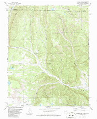
1986 Map of Vermejo Park
USGS Topo · Published 1986About this map
The Beaubien and Miranda (Maxwell) Grant covers much of this high-elevation landscape along the border of Colorado and New Mexico. The Vermejo River and its tributaries, such as Leandro Creek and Stinking Creek, carve through the terrain, punctuated by the striking geological feature known as The Little Wall. Land use is defined by a mix of historic ranching and industrial extraction, evidenced by the Bartlett Mine and various drill holes scattered across the quadrangle.
Find a feature on this map
32 named features on this map. Tap any name to fly to it.
Don’t see what you’re looking for? This feature index may not catch every label — zoom into the map to look around manually.
Map Details
Editions of this 1986 Vermejo Park Map
This is the sole edition of this map. No revisions or reprints were ever made.
Other maps of this area

1891 · Spanish Peaks
USGS Topo · 1:125,000

1893 · Spanish Peaks
USGS Topo · 1:125,000

1895 · Spanish Peaks
USGS Topo · 1:125,000

1897 · Spanish Peaks
USGS Topo · 1:125,000

1900 · Spanish Peaks
USGS Topo · 1:125,000

1954 · Raton
USGS Topo · 1:250,000

1954 · Trinidad
USGS Topo · 1:250,000

1955 · Trinidad
USGS Topo · 1:250,000

1958 · Raton
USGS Topo · 1:250,000

1958 · Trinidad
USGS Topo · 1:250,000