2022 Map of Vernon
USGS Topo · Published 2022About this map
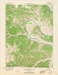
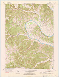
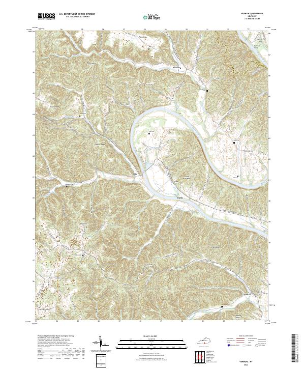
The Cumberland River carves a deep, serpentine path through Monroe County, Kentucky, defining the landscape of this southern border region. The river's dramatic oxbows at Turkey Neck Bend and Salt Lick Bend created isolated pockets of valley land, once supporting a network of small agricultural settlements like Otia, Coe, and Blythe. High ridges, including Sulphur Ridge and Pruitt Ridge, separate the river bottom from the upland plateaus, where local life centered around rural crossroads and family homesteads.
Find a feature on this map
73 named features on this map. Tap any name to fly to it.
Don’t see what you’re looking for? This feature index may not catch every label — zoom into the map to look around manually.
Map Details
Editions of this 2022 Vernon Map
This is the sole edition of this map. No revisions or reprints were ever made.
Historical Maps of Vernon Through Time
7 maps found