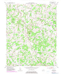
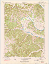
1953 Map of Freedom
USGS Topo · Published 1983About this map
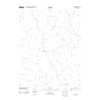
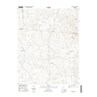
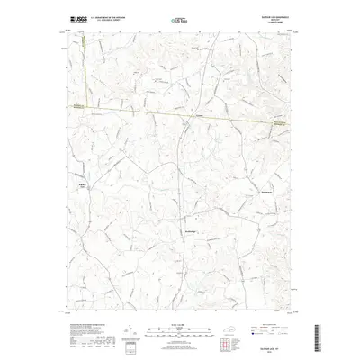
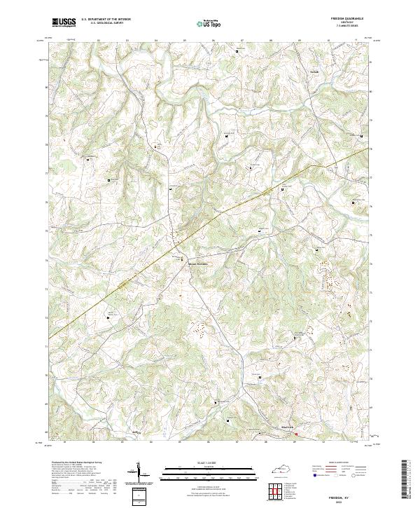
Skaggs Creek and its many winding tributaries, including Steam Mill Branch and Hacker Branch, define this rural stretch of the Barren and Monroe County line. The landscape is characterized by a dense network of local landmarks that reflect the social foundations of mid-century Kentucky, from the centrally located settlement of Freedom to the rural hub at Mount Hermon. Small, community-focused institutions are scattered throughout the hills, including Poplar Log Ch and Oak Grove Sch.
Find a feature on this map
37 named features on this map. Tap any name to fly to it.
Don’t see what you’re looking for? This feature index may not catch every label — zoom into the map to look around manually.
Map Details
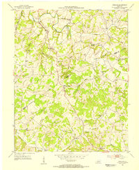
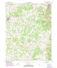
Editions of this 1953 Freedom Map
2 editions found
Historical Maps of Nobob Through Time
19 maps found
1953 Freedom
Monroe County, KY
1953 Sulphur Lick
Monroe County, KY
1954 Vernon
Monroe County, KY
1981 Vernon
Monroe County, KY
2010 Freedom
Monroe County, KY
2010 Sulphur Lick
Monroe County, KY
2010 Vernon
Monroe County, KY
2013 Freedom
Monroe County, KY
2013 Sulphur Lick
Monroe County, KY
2013 Vernon
Monroe County, KY
2016 Freedom
Monroe County, KY
2016 Sulphur Lick
Monroe County, KY
2016 Vernon
Monroe County, KY
2019 Freedom
Monroe County, KY
2019 Sulphur Lick
Monroe County, KY

2019 Vernon
Monroe County, KY
2022 Freedom
Monroe County, KY
2022 Sulphur Lick
Monroe County, KY
2022 Vernon
Monroe County, KY