2024 Map of Vero Beach
USGS Topo · Published 2024About this map
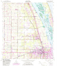
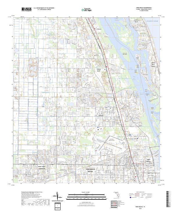
The Indian River Lagoon and Intracoastal Waterway define the central geography of this Florida coastline, separating the mainland from a string of barrier islands including Wabasso Beach and Indian River Shores. On the mainland, the map reveals the urban organization of Vero Beach, extending through the West Vero Corridor and Vero Beach South. Infrastructure is centered around the Vero Beach Regional Airport and the Indian River County Courthouse, while educational facilities like the Indian River State College Mueller Campus signal the area's modern development. Beyond the city center, smaller communities like Wabasso, Winter Beach, and Gifford maintain their own identities, with local history preserved at sites such as the Winter Beach Cem and Gifford Cem. The landscape is etched with a network of drainage features, notably the Main Canal, which serves the agricultural and residential lands west of the coast.
Find a feature on this map
69 named features on this map. Tap any name to fly to it.
Don’t see what you’re looking for? This feature index may not catch every label — zoom into the map to look around manually.
Map Details
Editions of this 2024 Vero Beach Map
This is the sole edition of this map. No revisions or reprints were ever made.
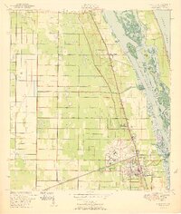
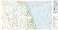
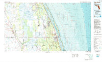
Historical Maps of Indian River Shores Through Time
5 maps found