2022 Map of Verona
USGS Topo · Published 2022About this map
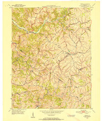
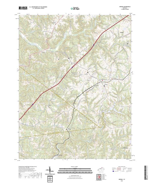
Verona and the surrounding tri-county hills of Boone, Gallatin, and Grant counties appear here at the meeting point of rural tradition and modern infrastructure. The landscape is defined by the winding drainages of Mud Lick Creek and the Big South Fork, while the Interstate corridor bisects the terrain. Genealogists will find a high density of small family and community burial grounds, from Carr Cem and Powers Cem near Hume to the Salem Church Cem on the outskirts of Walton.
Find a feature on this map
103 named features on this map. Tap any name to fly to it.
Don’t see what you’re looking for? This feature index may not catch every label — zoom into the map to look around manually.
Map Details
Editions of this 2022 Verona Map
This is the sole edition of this map. No revisions or reprints were ever made.
Historical Maps of Hume Through Time
5 maps found