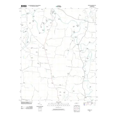
2010 Map of Verona
USGS Topo · Published 2010About this map
Duck River meanders sharply through this Tennessee landscape, defining the rural character of the region south of the Milltown Dam. The settlement of Berlin sits at a crossroads near the center of the sheet, while the southern reaches are marked by the small community at Double Bridges. The terrain is notable for its intricate river features, including sharp oxbows like Cheek Bend and Osteen Bend, and numerous named islands such as Big Spring Island and Sycamore Patch Island.
Find a feature on this map
110 named features on this map. Tap any name to fly to it.
Don’t see what you’re looking for? This feature index may not catch every label — zoom into the map to look around manually.
Map Details
Editions of this 2010 Verona Map
This is the sole edition of this map. No revisions or reprints were ever made.
Other maps of this area
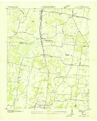
1936 · Chapel Hill
USGS Topo · 1:24,000
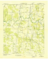
1936 · Farmington
USGS Topo · 1:24,000
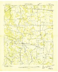
1936 · Belfast
USGS Topo · 1:24,000
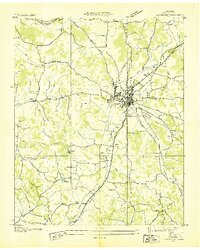
1936 · Lewisburg
USGS Topo · 1:24,000
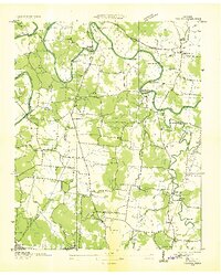
1936 · Verona
USGS Topo · 1:24,000
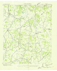
1936 · Campbells Station
USGS Topo · 1:24,000
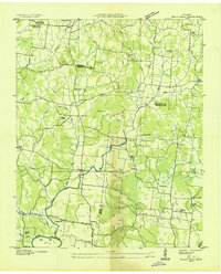
1936 · Rally Hill
USGS Topo · 1:24,000
1936 · Carters Creek
USGS Topo · 1:24,000
1936 · Glendale
USGS Topo · 1:24,000
1941 · Carters Creek
USGS Topo · 1:24,000