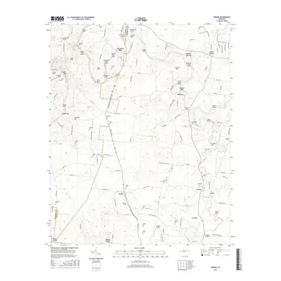
2016 Map of Verona
USGS Topo · Published 2016About this map
Duck River meanders sharply across this landscape on the Maury Co and Marshall Co line, defining a topography of deep bends and numerous named islands. The water-powered history of the area is evident at Hardison Mill and Lillard Mill, which sit near the early settlement of Milltown. This agricultural corridor is anchored by the community of Berlin and the heights of Berlin Hill, where the Lewisburg and Franklin Pike serves as a primary north-south artery. The map is a significant resource for genealogists, recording numerous family burial grounds such as Clymore Cem, Tindell Cem, and Whitsell Cem. From the flats of Ellington Airport to the distinctive landform of The Sheep Neck, the map details a rural Tennessee landscape where modern aviation and historic milling sites coexist alongside small hamlets like Verona and Cowden.
Find a feature on this map
141 named features on this map. Tap any name to fly to it.
Don’t see what you’re looking for? This feature index may not catch every label — zoom into the map to look around manually.
Map Details
Editions of this 2016 Verona Map
This is the sole edition of this map. No revisions or reprints were ever made.
Other maps of this area

1936 · Chapel Hill
USGS Topo · 1:24,000

1936 · Farmington
USGS Topo · 1:24,000

1936 · Belfast
USGS Topo · 1:24,000

1936 · Lewisburg
USGS Topo · 1:24,000

1936 · Verona
USGS Topo · 1:24,000

1936 · Campbells Station
USGS Topo · 1:24,000

1936 · Rally Hill
USGS Topo · 1:24,000

1936 · Carters Creek
USGS Topo · 1:24,000

1936 · Glendale
USGS Topo · 1:24,000

1941 · Carters Creek
USGS Topo · 1:24,000