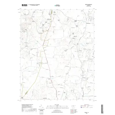
2019 Map of Verona
USGS Topo · Published 2019About this map
The Duck River winds through the heart of this landscape, its path defined by numerous bends and islands like Jones Bend, Cheek Bend, and Slick Shoals Island. The river's historical importance to local industry is evident at Lillard Mill and Hardison Mill, where the water power once supported the rural economy. In the southern portion, the communities of Berlin and Verona serve as focal points along the Lewisburg and Franklin Pike, surrounded by family-named landmarks such as Berlin Hill and Betsy Bluff.
Find a feature on this map
143 named features on this map. Tap any name to fly to it.
Don’t see what you’re looking for? This feature index may not catch every label — zoom into the map to look around manually.
Map Details
Editions of this 2019 Verona Map
This is the sole edition of this map. No revisions or reprints were ever made.
Other maps of this area

1936 · Chapel Hill
USGS Topo · 1:24,000

1936 · Farmington
USGS Topo · 1:24,000

1936 · Belfast
USGS Topo · 1:24,000

1936 · Lewisburg
USGS Topo · 1:24,000

1936 · Verona
USGS Topo · 1:24,000

1936 · Campbells Station
USGS Topo · 1:24,000

1936 · Rally Hill
USGS Topo · 1:24,000

1936 · Carters Creek
USGS Topo · 1:24,000

1936 · Glendale
USGS Topo · 1:24,000

1941 · Carters Creek
USGS Topo · 1:24,000