2022 Map of Vicksboro
USGS Topo · Published 2022About this map
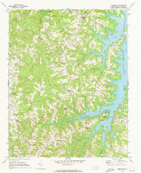
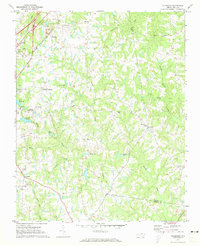
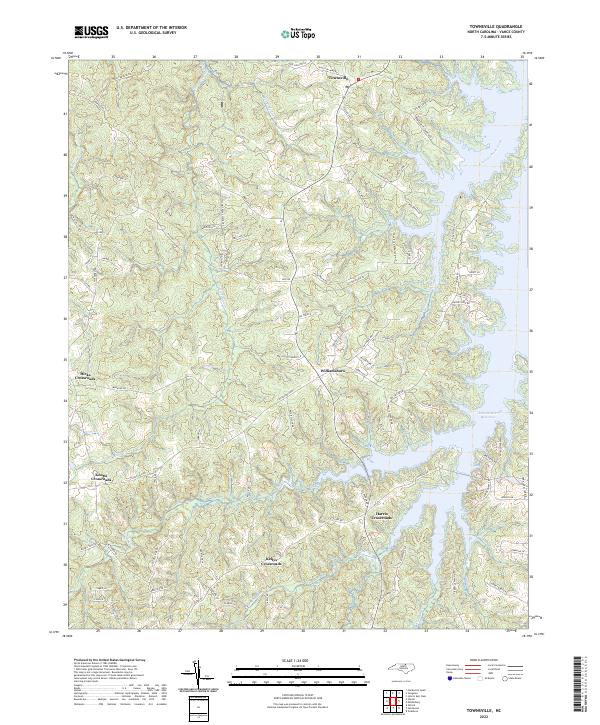
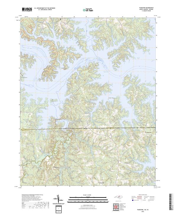
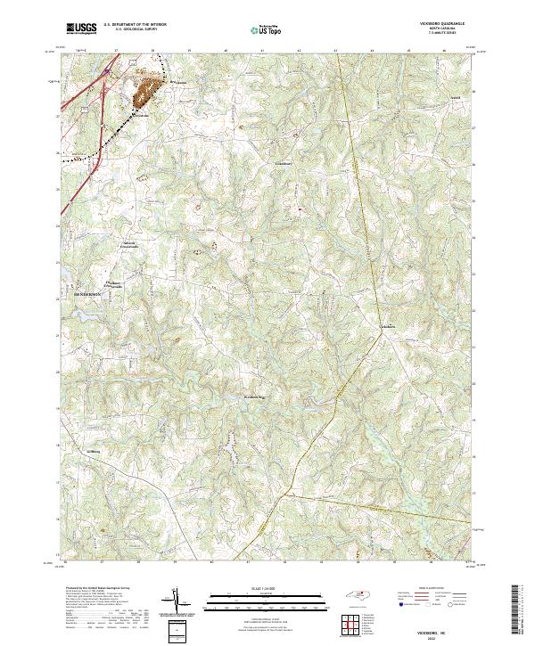
Henderson anchors the western edge of this landscape where the Piedmont begins its transition toward the coastal plain. The map documents a network of rural communities and historic crossroads like Adcock Crossroads, Faulkner Crossroads, and Cokesbury that remain connected by a dense web of secondary roads. Water management is a defining characteristic of the local geography, evidenced by several named impoundments including Fox Reservoir, Southerlands Pond, and Ayscues Pond. These water bodies and the drainages of Sandy Creek and Buffalo Cr illustrate the complex drainage patterns of the upper Tar River basin.
Find a feature on this map
102 named features on this map. Tap any name to fly to it.
Don’t see what you’re looking for? This feature index may not catch every label — zoom into the map to look around manually.
Map Details
Editions of this 2022 Vicksboro Map
This is the sole edition of this map. No revisions or reprints were ever made.
Historical Maps of Axtell Through Time
6 maps found