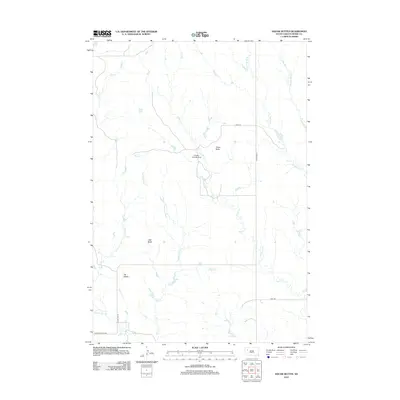
2012 Map of Vig Buttes
USGS Topo · Published 2012About this map
Vig Buttes rise above the drainage systems of northern Meade County, characterizing a landscape defined by intermittent waterways and isolated landmarks. The terrain is marked by significant features like Horse Butte and Zeff Butte, which provide vertical relief in an area primarily used for grazing and rangeland. The presence of Engalls Landing Strip near the center of the sheet indicates the importance of private aviation in managing these expansive rural tracts where roads are sparse.
Find a feature on this map
17 named features on this map. Tap any name to fly to it.
Don’t see what you’re looking for? This feature index may not catch every label — zoom into the map to look around manually.
Map Details
Editions of this 2012 Vig Buttes Map
This is the sole edition of this map. No revisions or reprints were ever made.
Other maps of this area

1951 · Cedar Canyon
USGS Topo · 1:24,000

1951 · Maurine
USGS Topo · 1:24,000

1953 · Rapid City
USGS Topo · 1:250,000

1954 · Lemmon
USGS Topo · 1:250,000

1957 · Lemmon
USGS Topo · 1:250,000

1957 · Rapid City
USGS Topo · 1:250,000

1973 · Frozen Man Creek
USGS Topo · 1:24,000

1978 · Bull Run Creek
USGS Topo · 1:24,000

1980 · Beverly Creek
USGS Topo · 1:25,000

1983 · Opal West SE
USGS Topo · 1:24,000