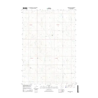
2015 Map of Vig Buttes
USGS Topo · Published 2015About this map
Vig Buttes and Zeff Butte dominate the high ground of this Meade County landscape, where the drainage patterns of the western Great Plains dictate the movement of both water and people. The map reveals a network of intermittent streams and draws, most notably Coal Mine Draw and Frozen Man Cr, which provide a record of local toponymy and historical resource use. The sparse road network, anchored by Stoneville Rd and Opal Rd, reflects the section-line geometry typical of South Dakota's rural expanses. Cattle trails and local access points likely follow these drainages, such as Eagle Cr and Deer Cr, which carve through the terrain. The presence of Horse Butte near the intersection of 168th St further emphasizes the prominence of these geographical landmarks in a region defined by its elevation and water access.
Find a feature on this map
19 named features on this map. Tap any name to fly to it.
Don’t see what you’re looking for? This feature index may not catch every label — zoom into the map to look around manually.
Map Details
Editions of this 2015 Vig Buttes Map
This is the sole edition of this map. No revisions or reprints were ever made.
Other maps of this area

1951 · Cedar Canyon
USGS Topo · 1:24,000

1951 · Maurine
USGS Topo · 1:24,000

1953 · Rapid City
USGS Topo · 1:250,000

1954 · Lemmon
USGS Topo · 1:250,000

1957 · Lemmon
USGS Topo · 1:250,000

1957 · Rapid City
USGS Topo · 1:250,000

1973 · Frozen Man Creek
USGS Topo · 1:24,000

1978 · Bull Run Creek
USGS Topo · 1:24,000

1980 · Beverly Creek
USGS Topo · 1:25,000

1983 · Opal West SE
USGS Topo · 1:24,000