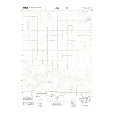
2011 Map of Vilas North
USGS Topo · Published 2011About this map
Vilas sits at the southern edge of this Baca County landscape, marking a concentrated point of settlement amidst an expansive grid of county roads. The southern portion of the map is defined by the Comanche National Grassland, where the terrain drops into the drainage of Bear Creek. To the north, the water management of the High Plains is evident at the R R Rutherford Reservoir, held by the R R Rutherford Dam along the path of Horse Creek. The map documents a strictly organized rural landscape where ephemeral watercourses like Antelope Creek cross an endless sequence of numbered thoroughfares. Genealogists and local historians can locate the Vilas Cemetery, situated just north of the town center, providing a specific point of reference for the community's heritage in this part of Southeast Colorado.
Find a feature on this map
41 named features on this map. Tap any name to fly to it.
Don’t see what you’re looking for? This feature index may not catch every label — zoom into the map to look around manually.
Map Details
Editions of this 2011 Vilas North Map
This is the sole edition of this map. No revisions or reprints were ever made.
Other maps of this area

1891 · Albany
USGS Topo · 1:125,000

1891 · Springfield
USGS Topo · 1:125,000

1892 · Vilas
USGS Topo · 1:125,000

1892 · Two Butte
USGS Topo · 1:125,000

1893 · Two Butte
USGS Topo · 1:125,000

1893 · Springfield
USGS Topo · 1:125,000

1893 · Albany
USGS Topo · 1:125,000

1955 · La Junta
USGS Topo · 1:250,000

1958 · La Junta
USGS Topo · 1:250,000

1968 · La Junta
USGS Topo · 1:250,000