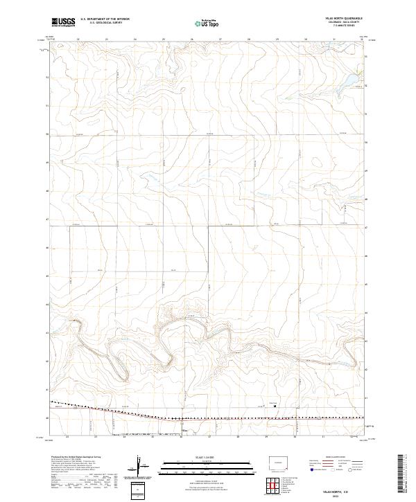
2022 Map of Vilas North
USGS Topo · Published 2022About this map
Vilas sits at the southern edge of this Baca County landscape, a small settlement defined by its grid of local roads and its proximity to the high plains drainage systems. The terrain is subtly carved by a series of intermittent watercourses that flow generally eastward, including the winding channel of Bear Creek and the more linear paths of Antelope Cr and Horse Cr to the north. These creeks represent the essential lifeblood of the high plains, dictating the historical patterns of grazing and homesteading in the region.
Find a feature on this map
30 named features on this map. Tap any name to fly to it.
Don’t see what you’re looking for? This feature index may not catch every label — zoom into the map to look around manually.
Map Details
Editions of this 2022 Vilas North Map
This is the sole edition of this map. No revisions or reprints were ever made.
Other maps of this area

1891 · Albany
USGS Topo · 1:125,000

1891 · Springfield
USGS Topo · 1:125,000

1892 · Vilas
USGS Topo · 1:125,000

1892 · Two Butte
USGS Topo · 1:125,000

1893 · Two Butte
USGS Topo · 1:125,000

1893 · Springfield
USGS Topo · 1:125,000

1893 · Albany
USGS Topo · 1:125,000

1955 · La Junta
USGS Topo · 1:250,000

1958 · La Junta
USGS Topo · 1:250,000

1968 · La Junta
USGS Topo · 1:250,000