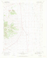
1967 Map of Villa Grove
USGS Topo · Published 1971About this map
Villa Grove and the thermal waters of Mineral Hot Springs anchor this mid-century survey of Saguache County. The landscape is defined by the hydrologic network of San Luis Creek and its many tributaries, including Kerber Creek and Silver Creek, which feed into the valley from the high ground near Clayton Cone. A notable piece of local history is recorded in the Old Railroad Grade running through the northern sections, tracing a transportation route that once served the region's early development.
Find a feature on this map
14 named features on this map. Tap any name to fly to it.
Don’t see what you’re looking for? This feature index may not catch every label — zoom into the map to look around manually.
Map Details
Editions of this 1967 Villa Grove Map
4 editions found
Other maps of this area

1950 · Valley View Hot Springs
USGS Topo · 1:24,000

1954 · Pueblo
USGS Topo · 1:250,000

1956 · Montrose
USGS Topo · 1:250,000

1957 · Pueblo
USGS Topo · 1:250,000

1958 · Pueblo
USGS Topo · 1:250,000

1959 · Montrose
USGS Topo · 1:250,000

1959 · Bonanza
USGS Topo · 1:62,500

1959 · Howard
USGS Topo · 1:62,500

1960 · Montrose
USGS Topo · 1:250,000

1962 · Pueblo
USGS Topo · 1:250,000