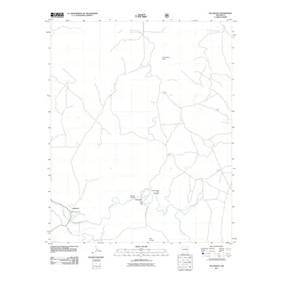
2011 Map of Villanueva
USGS Topo · Published 2011About this map
Pecos River meanders through this portion of San Miguel County, carving through steep terrain such as El Cañon de Pena and El Cañon del Palo Amarillo. The map highlights two concentrated areas of settlement: Villanueva and the smaller village of El Cerrito to the east. Each community is anchored by its local infrastructure, specifically the Villanueva Post Office and the El Cerrito Post Office.
Find a feature on this map
14 named features on this map. Tap any name to fly to it.
Don’t see what you’re looking for? This feature index may not catch every label — zoom into the map to look around manually.
Map Details
Editions of this 2011 Villanueva Map
This is the sole edition of this map. No revisions or reprints were ever made.
Other maps of this area

1890 · Bernal
USGS Topo · 1:125,000

1891 · Bernal
USGS Topo · 1:125,000

1894 · Bernal
USGS Topo · 1:125,000

1954 · Santa Fe
USGS Topo · 1:250,000

1958 · Santa Fe
USGS Topo · 1:250,000

1960 · Villanueva
USGS Topo · 1:62,500

1960 · Apache Springs
USGS Topo · 1:62,500
1963 · Anton Chico
USGS Topo · 1:24,000

1963 · Aurora
USGS Topo · 1:24,000
1963 · San Juan
USGS Topo · 1:24,000