Loading...
Loading map...2024 Map of Vinegar Bend
USGS Topo · Published 2024About this map
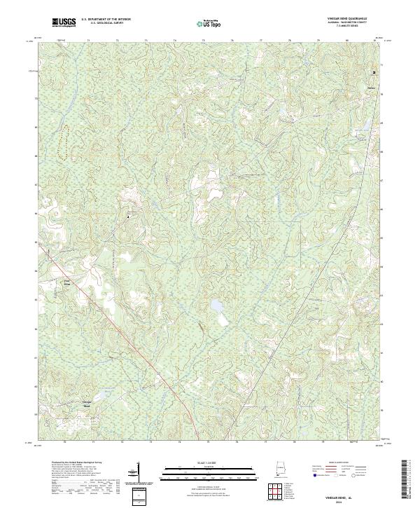
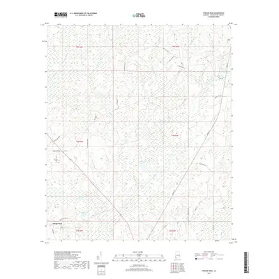
The Escatawpa River flows through this corner of Washington County, defining a landscape of wetlands and winding creeks. The settlement of Tibbie and the rural junction of Four Point serve as the primary hubs in this timber-rich region of southwest Alabama. Local family history is centered around landmarks like the Tibbie Cem and Four Points Cem, along with numerous family-named roads such as Jordan Parnell Rd and Elmer Jordan Rd.
Find a feature on this map
44 named features on this map. Tap any name to fly to it.
Don’t see what you’re looking for? This feature index may not catch every label — zoom into the map to look around manually.
Map Details
Date Portrayed2024
Date Published2024
PublisherU.S. Geological Survey
Map TypeTopographic
Scale1:24,000
Physical Dimensions24 x 29 inches
Editions of this 2024 Vinegar Bend Map
This is the sole edition of this map. No revisions or reprints were ever made.
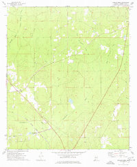
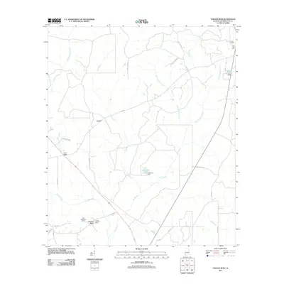
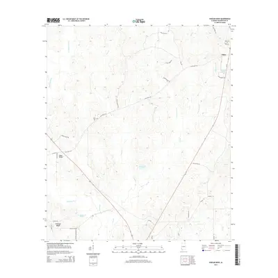
Historical Maps of Vinegar Bend Through Time
6 maps found
Featured Locations
Source Details
SourceU.S. Geological Survey
CopyrightPublic Domain