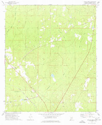
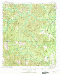
1974 Map of Vinegar Bend
USGS Topo · Published 1977About this map
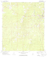
The Escatawpa River and its dense network of tributaries, including Creeping Swamp and Long Branch, define this pocket of Washington County during the mid-1970s. The settlement of Vinegar Bend serves as a focal point near the southern edge of the sheet, where the Illinois Central Gulf railroad cuts a diagonal path through the timbered landscape. This transportation corridor is mirrored by an Old RR Grade to the south, indicating the evolution of the region's logging or industrial infrastructure over time.
Find a feature on this map
17 named features on this map. Tap any name to fly to it.
Don’t see what you’re looking for? This feature index may not catch every label — zoom into the map to look around manually.
Map Details
Editions of this 1974 Vinegar Bend Map
This is the sole edition of this map. No revisions or reprints were ever made.
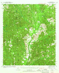
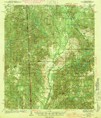
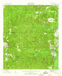
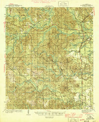
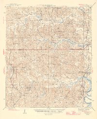
Other maps of this area
1942 · Deer Park
USGS Topo · 1:62,500
1943 · Deer Park
USGS Topo · 1:62,500
1943 · Citronelle
USGS Topo · 1:62,500
1943 · McIntosh
USGS Topo · 1:62,500
1944 · McIntosh
USGS Topo · 1:62,500
1946 · Citronelle
USGS Topo · 1:62,500

1953 · Hattiesburg
USGS Topo · 1:250,000

1958 · Hattiesburg
USGS Topo · 1:250,000
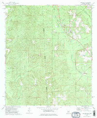
1974 · Fruitdale
USGS Topo · 1:24,000
1974 · Chatom
USGS Topo · 1:24,000