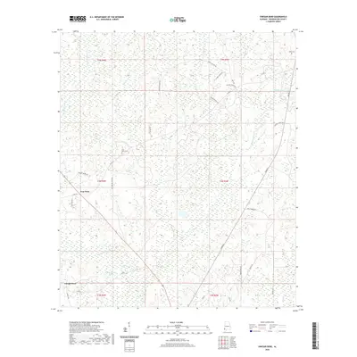
2020 Map of Vinegar Bend
USGS Topo · Published 2020About this map
Vinegar Bend and the crossroads at Four Point anchor this rural landscape in Washington County, Alabama, defined by a complex network of wetlands and creek branches. The Escatawpa River winds along the western edge, while smaller water bodies like D R Stallworth Pond and Pagnells Pond dot the lowlands. The survey reveals a region shaped by its hydrology, with numerous drainages such as W Pine Barren Cr and Bilbo Cr feeding into the larger river system. Genealogists and local historians will find significant landmarks in the Four Points Cem and Tibbie Cem, which sit alongside a web of local roads named for prominent area families, including Elmer Jordan Rd, Bama Williams Rd, and Baxter-Mclwain Rd. This road network illustrates the persistent rural settlement patterns that have remained centered on these small communities and family landholdings into the modern era.
Find a feature on this map
42 named features on this map. Tap any name to fly to it.
Don’t see what you’re looking for? This feature index may not catch every label — zoom into the map to look around manually.
Map Details
Editions of this 2020 Vinegar Bend Map
This is the sole edition of this map. No revisions or reprints were ever made.
Other maps of this area

1942 · Deer Park
USGS Topo · 1:62,500

1943 · Deer Park
USGS Topo · 1:62,500

1943 · Citronelle
USGS Topo · 1:62,500

1943 · McIntosh
USGS Topo · 1:62,500

1944 · McIntosh
USGS Topo · 1:62,500

1946 · Citronelle
USGS Topo · 1:62,500

1953 · Hattiesburg
USGS Topo · 1:250,000

1958 · Hattiesburg
USGS Topo · 1:250,000

1974 · Fruitdale
USGS Topo · 1:24,000

1974 · Chatom
USGS Topo · 1:24,000