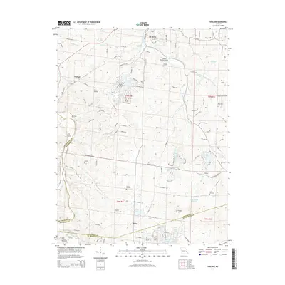
2015 Map of Vineland
USGS Topo · Published 2015About this map
De Soto and the surrounding townships in Jefferson and St. Francois counties reveal a landscape defined by rolling hollows and numerous small, private reservoirs. The unincorporated community of Vineland sits along the western edge, while the southern reaches descend toward the Saint Francois Mountains. A dense network of local cemeteries, including Moontown, Rowe, and Old Blackwell, serves as a valuable resource for genealogists researching families from the Melzo area.
Find a feature on this map
146 named features on this map. Tap any name to fly to it.
Don’t see what you’re looking for? This feature index may not catch every label — zoom into the map to look around manually.
Map Details
Editions of this 2015 Vineland Map
This is the sole edition of this map. No revisions or reprints were ever made.
Other maps of this area

1901 · De Soto
USGS Topo · 1:125,000

1904 · Farmington
USGS Topo · 1:62,500

1905 · Bonneterre
USGS Topo · 1:62,500

1906 · Farmington
USGS Topo · 1:62,500

1915 · Crystal City
USGS Topo · 1:62,500

1930 · De Soto NE
USGS Topo · 1:24,000

1931 · De Soto SE
USGS Topo · 1:24,000

1937 · Fletcher
USGS Topo · 1:24,000

1937 · Tiff
USGS Topo · 1:24,000

1938 · Fletcher
USGS Topo · 1:24,000