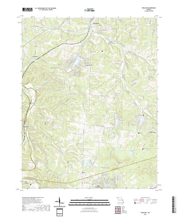
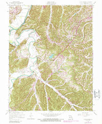
2021 Map of Vineland
USGS Topo · Published 2021About this map
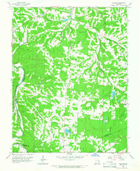
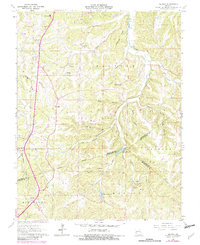
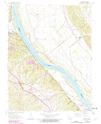
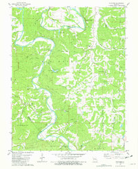
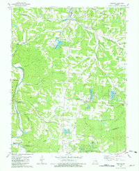
Joachim Creek and its many tributaries, such as Falling Rock Br and McMullen Br, carve through the northern reaches of the Saint Francois Mountains. This region of Jefferson County is characterized by numerous small valley settlements like Blackwell, Vineland, and the historic mining area of Valles Mines. The landscape is dotted with family and community burial grounds, including Moontown Cem, Hamman Cem, and Vineyard Cem, which provide significant genealogical touchstones for local history researchers.
Find a feature on this map
159 named features on this map. Tap any name to fly to it.
Don’t see what you’re looking for? This feature index may not catch every label — zoom into the map to look around manually.
Map Details
Editions of this 2021 Vineland Map
This is the sole edition of this map. No revisions or reprints were ever made.
Historical Maps of Vineland Through Time
25 maps found

1930 De Soto NE
Jefferson County, MO
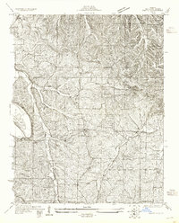
1930 Pacific SE
Jefferson County, MO
1931 De Soto SE
Jefferson County, MO
1931 Pacific NE
Jefferson County, MO
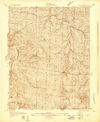
1937 Fletcher
Jefferson County, MO

1938 Fletcher
Jefferson County, MO
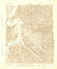
1954 Belew Creek
Jefferson County, MO
1954 House Springs
Jefferson County, MO
1954 Maxville
Jefferson County, MO
1955 De Soto NE
Jefferson County, MO
1955 De Soto SE
Jefferson County, MO
1958 De Soto NE
Jefferson County, MO
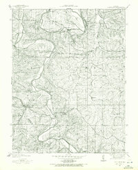
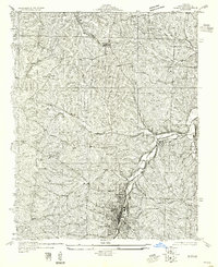
1960 Vineland
Jefferson County, MO
1964 Halifax
Jefferson County, MO
1964 Selma
Jefferson County, MO
1981 Fletcher
Jefferson County, MO
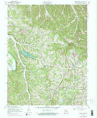
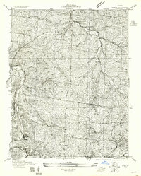
1981 Vineland
Jefferson County, MO
1993 Selma
Jefferson County, MO
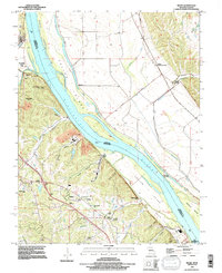
2021 Belews Creek
Jefferson County, MO
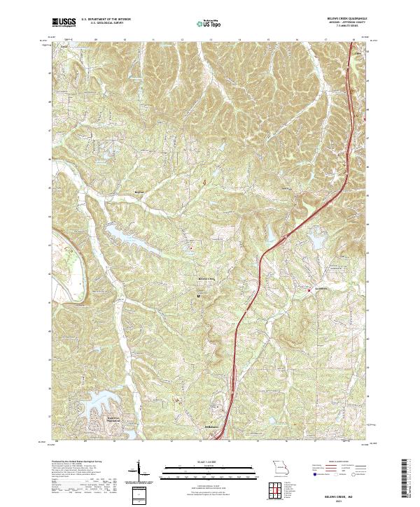
2021 Fletcher
Jefferson County, MO
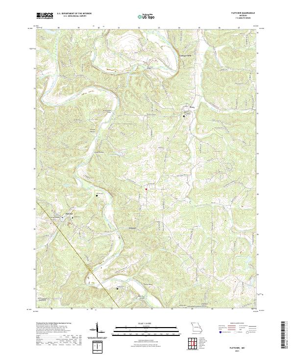
2021 Halifax
Jefferson County, MO
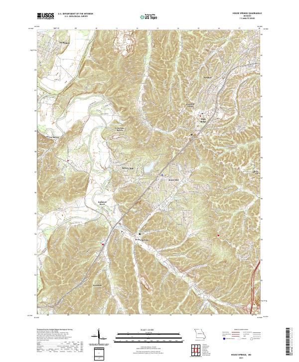
2021 House Springs
Jefferson County, MO
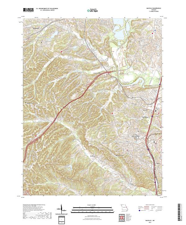
2021 Maxville
Jefferson County, MO
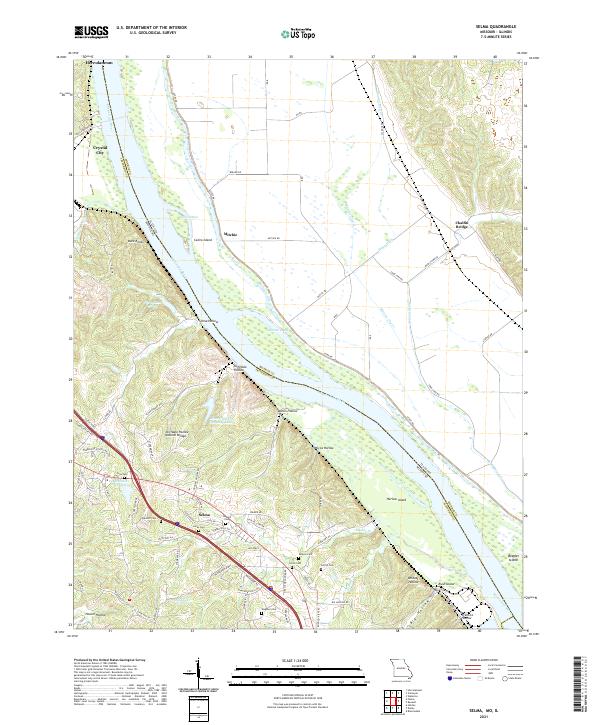
2021 Selma
Jefferson County, MO
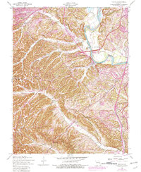
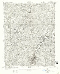
2021 Vineland
Jefferson County, MO
Featured Locations
- Blackwell, MO
- De Soto, Valle Township
- Melzo, Valle Township
- Summer Set, Valle Township
- Vineland, Valle Township