Loading...
Loading map...2024 Map of Viola
USGS Topo · Published 2024About this map
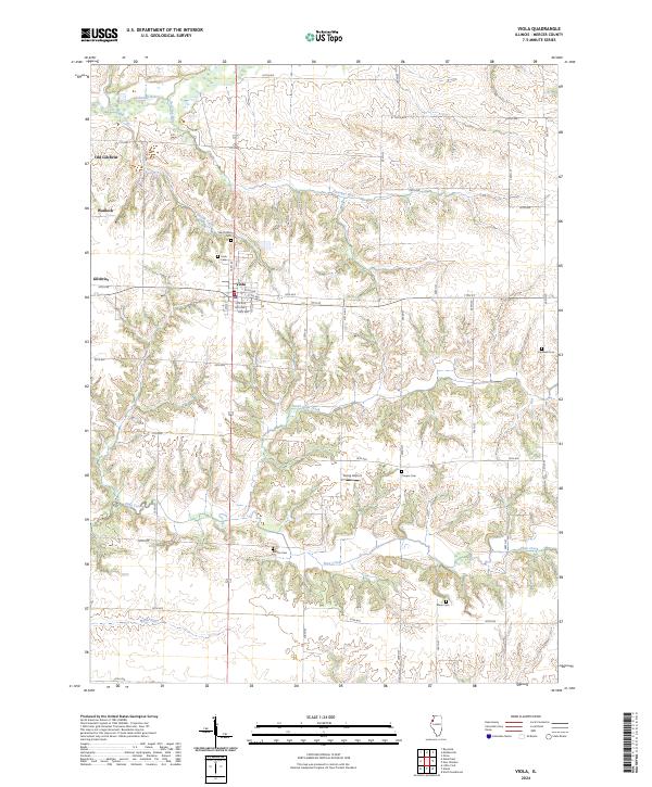
Viola serves as the central hub of this Mercer County landscape, where the local road grid intersects with a series of winding tributaries. The terrain is defined by the drainage patterns of the Edwards River to the north and Pope Creek to the south, with numerous small runs like Donohue Run and Maids Run cutting through the topography. This contemporary survey highlights the persistence of early settlements such as Gilchrist and Old Gilchrist, alongside the small community of Wanlock.
Find a feature on this map
50 named features on this map. Tap any name to fly to it.
Don’t see what you’re looking for? This feature index may not catch every label — zoom into the map to look around manually.
Map Details
Date Portrayed2024
Date Published2024
PublisherU.S. Geological Survey
Map TypeTopographic
Scale1:24000
Physical Dimensions24 x 29 inches
Editions of this 2024 Viola Map
This is the sole edition of this map. No revisions or reprints were ever made.
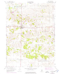
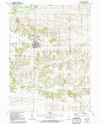
Historical Maps of Viola Through Time
Featured Locations
Source Details
SourceU.S. Geological Survey
CopyrightPublic Domain