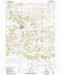
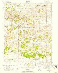
1992 Map of Viola
USGS Topo · Published 1992About this map
Viola serves as the central hub of this corner of Mercer County, situated at the intersection of several local townships. The village's social fabric is anchored by Viola United Ch, St Johns Ch, and the Winola Sch campus. Beyond the town limits, the landscape transitions into a mosaic of rural agricultural lands and timbered creek bottoms. An Old Railroad Grade cuts across the terrain, marking the path of former transport lines that once connected the smaller outposts of Wanlock and Gilchrist.
Find a feature on this map
27 named features on this map. Tap any name to fly to it.
Don’t see what you’re looking for? This feature index may not catch every label — zoom into the map to look around manually.
Map Details
Editions of this 1992 Viola Map
This is the sole edition of this map. No revisions or reprints were ever made.
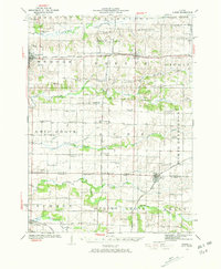
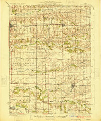
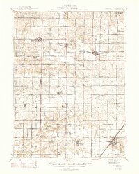
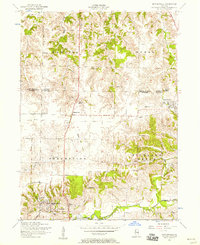
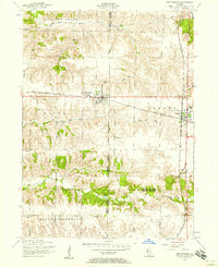
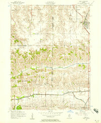
Other maps of this area

1912 · Milan
USGS Topo · 1:62,500
1923 · Alexis
USGS Topo · 1:62,500
1925 · Alexis
USGS Topo · 1:62,500

1937 · Orion
USGS Topo · 1:62,500

1944 · Milan
USGS Topo · 1:62,500
1947 · Woodhull
USGS Topo · 1:62,500
1953 · Viola
USGS Topo · 1:24,000
1953 · Matherville
USGS Topo · 1:24,000
1953 · New Windsor
USGS Topo · 1:24,000
1953 · Orion
USGS Topo · 1:24,000