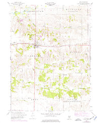
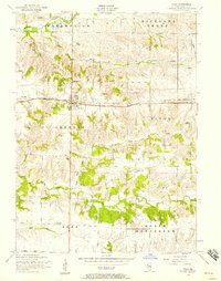
1953 Map of Viola
USGS Topo · Published 1977About this map
The agricultural landscape of Mercer County during the mid-20th century is centered on the village of Viola, which serves as a hub for the surrounding townships of Preemption, Greene, and Rivoli. The Chicago Burlington and Quincy railroad traverses the territory east-to-west, linking the main settlement with outlying points like Gilchrist and Wanlock. This era of the Illinois prairie is characterized by a dense network of one-room schoolhouses and family burial grounds that reflect the rural social structure before mid-century consolidation. Drainage is defined by the Edwards River in the north and the meandering Pope Creek system to the south. Notable local landmarks include the Ball Park in Viola and a series of rural institutions such as Brushwood School and St Johns Cemetery, which provide specific points of interest for genealogists tracing family locations across this section of Suez and North Henderson townships.
Find a feature on this map
31 named features on this map. Tap any name to fly to it.
Don’t see what you’re looking for? This feature index may not catch every label — zoom into the map to look around manually.
Map Details
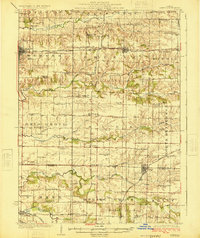
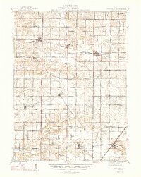
Editions of this 1953 Viola Map
2 editions found
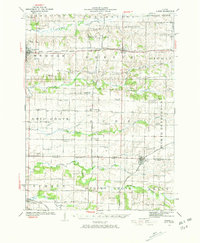
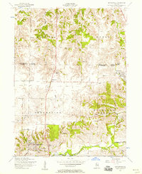
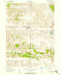
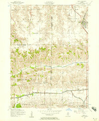
Other maps of this area

1912 · Milan
USGS Topo · 1:62,500
1923 · Alexis
USGS Topo · 1:62,500
1925 · Alexis
USGS Topo · 1:62,500

1937 · Orion
USGS Topo · 1:62,500

1944 · Milan
USGS Topo · 1:62,500
1947 · Woodhull
USGS Topo · 1:62,500
1953 · Viola
USGS Topo · 1:24,000
1953 · Matherville
USGS Topo · 1:24,000
1953 · New Windsor
USGS Topo · 1:24,000
1953 · Orion
USGS Topo · 1:24,000