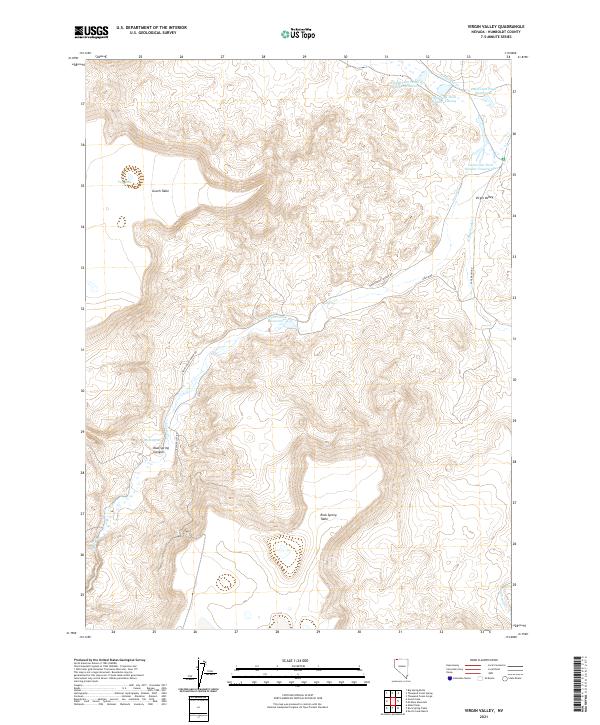
2021 Map of Virgin Valley
USGS Topo · Published 2021About this map
Gooch Table and Rock Spring Table dominate the high-elevation landscape of this remote corner of Humboldt County. These broad, flat-topped mesas rise above the surrounding basin, where a series of water management features and natural springs punctuate the arid terrain. The northern reaches of the map are defined by a cluster of numbered reservoirs, including Dufurrena Pond Number Nineteen and Dufurrena Pond Number Twenty-One, which reflect early 21st-century efforts to capture runoff from Thousand Cr.
Find a feature on this map
25 named features on this map. Tap any name to fly to it.
Don’t see what you’re looking for? This feature index may not catch every label — zoom into the map to look around manually.
Map Details
Editions of this 2021 Virgin Valley Map
This is the sole edition of this map. No revisions or reprints were ever made.
Other maps of this area

1886 · Disaster
USGS Topo · 1:250,000

1889 · Long Valley
USGS Topo · 1:250,000

1893 · Disaster
USGS Topo · 1:250,000

1954 · Vya
USGS Topo · 1:250,000

1958 · Vya
USGS Topo · 1:250,000

1962 · Vya
USGS Topo · 1:250,000

1965 · Railroad Point
USGS Topo · 1:62,500

1965 · Idaho Canyon
USGS Topo · 1:62,500

1965 · Rock Spring Table
USGS Topo · 1:62,500

1966 · Big Spring Butte
USGS Topo · 1:62,500