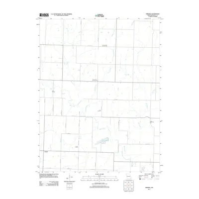
2011 Map of Virginia
USGS Topo · Published 2011About this map
The small settlement of Virginia serves as the focal point for this western Missouri agricultural landscape, where the headwaters and tributaries of Miami Creek and Knob Creek define the drainage of the region. This 2011 survey illustrates a social geography anchored by local community hubs, specifically the Pleasant Valley Community Hall, Mount Vernon Community Hall, and Wilcox Community Hall, which reflect the localized civic life of Bates County. For those tracing family histories, the map records the locations of the Virginia Cemetery, Park Cemetery, and Howell Cemetery. The terrain is marked by a network of rural routes with family-associated names such as Terry Mcguire Blvd and Whoopie's Rd, while Butler Lake provides a notable water feature amidst the creek branches. This survey documents the persistent rural character of the area, where land use remains centered on farming and local township connectivity.
Find a feature on this map
44 named features on this map. Tap any name to fly to it.
Don’t see what you’re looking for? This feature index may not catch every label — zoom into the map to look around manually.
Map Details
Editions of this 2011 Virginia Map
This is the sole edition of this map. No revisions or reprints were ever made.
Other maps of this area

1887 · Butler
USGS Topo · 1:125,000

1887 · Mound City
USGS Topo · 1:125,000

1893 · Mound City
USGS Topo · 1:125,000

1894 · Butler
USGS Topo · 1:125,000

1937 · New Home
USGS Topo · 1:24,000

1938 · Worland
USGS Topo · 1:24,000

1940 · Worland
USGS Topo · 1:24,000

1947 · Lawrence
USGS Topo · 1:250,000

1950 · Lawrence
USGS Topo · 1:250,000

1956 · Lawrence
USGS Topo · 1:250,000