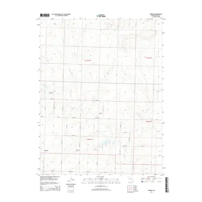
2014 Map of Virginia
USGS Topo · Published 2014About this map
Virginia serves as the primary settlement within this western Bates County landscape, situated amidst a dense network of country roads and drainage basins. The terrain is defined by the winding course of Miami Cr, which receives tributaries like Knob Cr, Limestone Cr, and Bones Br. For family historians, the sheet is particularly valuable for its documentation of local burial grounds, including the Virginia Cemetery, Howell Cemetery, and Park Cemetery. The area’s water resources are punctuated by Butler Lake and Welliver Lake, which sit among the section lines of Township 40 and 41 North. The road network, including Terry McGuire Blvd and Knights Rd, reflects a persistent rural infrastructure where named thoroughfares such as Hines Rd and Davenport Rd link the scattered farmsteads and agricultural plots of this Missouri prairie region.
Find a feature on this map
51 named features on this map. Tap any name to fly to it.
Don’t see what you’re looking for? This feature index may not catch every label — zoom into the map to look around manually.
Map Details
Editions of this 2014 Virginia Map
This is the sole edition of this map. No revisions or reprints were ever made.
Other maps of this area

1887 · Butler
USGS Topo · 1:125,000

1887 · Mound City
USGS Topo · 1:125,000

1893 · Mound City
USGS Topo · 1:125,000

1894 · Butler
USGS Topo · 1:125,000

1937 · New Home
USGS Topo · 1:24,000

1938 · Worland
USGS Topo · 1:24,000

1940 · Worland
USGS Topo · 1:24,000

1947 · Lawrence
USGS Topo · 1:250,000

1950 · Lawrence
USGS Topo · 1:250,000

1956 · Lawrence
USGS Topo · 1:250,000