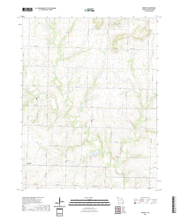
2021 Map of Virginia
USGS Topo · Published 2021About this map
Virginia serves as the primary community anchor in this rural Bates County landscape, characterized by a dense network of sectional roads and meandering creek beds. The area is defined by the drainages of Miami Cr, Limestone Cr, and Knob Cr, which carve through the agricultural terrain. Water management is evident at Butler Lake, a significant feature in the southern half of the quadrangle. For those researching local families, the map identifies several burial sites including Virginia Cem, Park Cem, and Howell Cem. The grid-like road system, featuring routes like State HWY CC and State HWY F, illustrates the enduring rural organization of this Missouri township, where small bridges and family-named roads like Adams RD and Knight RD connect isolated farmsteads.
Find a feature on this map
43 named features on this map. Tap any name to fly to it.
Don’t see what you’re looking for? This feature index may not catch every label — zoom into the map to look around manually.
Map Details
Editions of this 2021 Virginia Map
This is the sole edition of this map. No revisions or reprints were ever made.
Other maps of this area

1887 · Butler
USGS Topo · 1:125,000

1887 · Mound City
USGS Topo · 1:125,000

1893 · Mound City
USGS Topo · 1:125,000

1894 · Butler
USGS Topo · 1:125,000

1937 · New Home
USGS Topo · 1:24,000

1938 · Worland
USGS Topo · 1:24,000

1940 · Worland
USGS Topo · 1:24,000

1947 · Lawrence
USGS Topo · 1:250,000

1950 · Lawrence
USGS Topo · 1:250,000

1956 · Lawrence
USGS Topo · 1:250,000