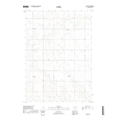
2017 Map of Vivian SW
USGS Topo · Published 2017About this map
Williams Cr and Pitan Cr cut through the high plains of Jones County in this 2017 survey, revealing the section-line geometry that defines the rural landscape. This South Dakota quadrangle is a study in Western agricultural organization, where arterial routes like Co Rd 58 and Co Rd 510 provide the primary framework for local travel. The terrain is marked by seasonal drainages, including the headwaters of Bull Cr in the southwest, showing the subtle natural contours that dictate the placement of ranch roads and township boundaries like t2s r30e and t3s r31e. For those tracing the evolution of Great Plains land use, the map documents the persistent layout of county infrastructure such as 248th St and 249th St against the open prairie.
Find a feature on this map
13 named features on this map. Tap any name to fly to it.
Don’t see what you’re looking for? This feature index may not catch every label — zoom into the map to look around manually.
Map Details
Editions of this 2017 Vivian SW Map
This is the sole edition of this map. No revisions or reprints were ever made.
Other maps of this area

1951 · Murdo SE
USGS Topo · 1:24,000

1951 · Badnation
USGS Topo · 1:24,000

1951 · White River NE
USGS Topo · 1:24,000

1951 · Badnation NW
USGS Topo · 1:24,000

1955 · Martin
USGS Topo · 1:250,000

1958 · Martin
USGS Topo · 1:250,000

1970 · Vivian SW
USGS Topo · 1:24,000

1972 · Draper
USGS Topo · 1:24,000

1972 · Vivian
USGS Topo · 1:24,000

1972 · Vivian SE
USGS Topo · 1:24,000