1977 Map of Volcano
USGS Topo · Published 1981About this map
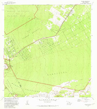
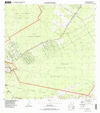
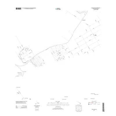
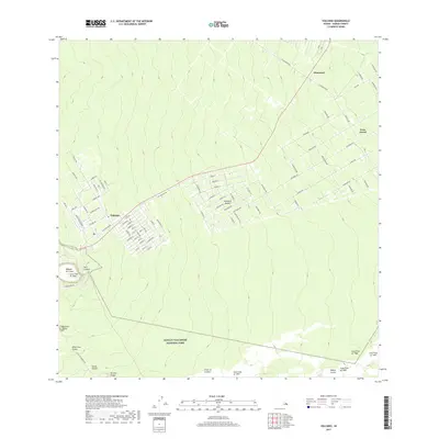
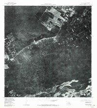
Volcano and Glenwood anchor the inhabited sections of this orthophotoquad, which captures the unique landscape of the Big Island in the late 1970s. This aerial perspective, prepared in cooperation with the State of Hawaii, reveals the stark contrast between the dense vegetation of the windward slopes and the dark, flowing patterns of volcanic activity. The imagery is dominated by the massive depressions of the summit region, including the well-defined Kilauea Iki Crater and portions of the larger Kilauea Crater. Further down the rift zone, the map traces the distinct outlines of Keake Crater, Makaopuhi Crater, and Napau Crater. The structured road grids of the local settlements show the encroachment of human development onto the edges of this active geological area, providing a rare overhead view of the community layout before subsequent decades of change.
Find a feature on this map
7 named features on this map. Tap any name to fly to it.
Don’t see what you’re looking for? This feature index may not catch every label — zoom into the map to look around manually.
Map Details
Editions of this 1977 Volcano Map
This is the sole edition of this map. No revisions or reprints were ever made.
Historical Maps of Volcano Through Time
7 maps found