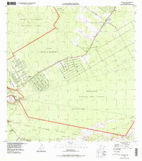
1997 Map of Volcano
USGS Topo · Published 1999About this map
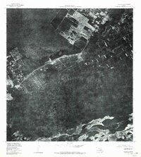
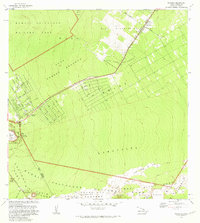
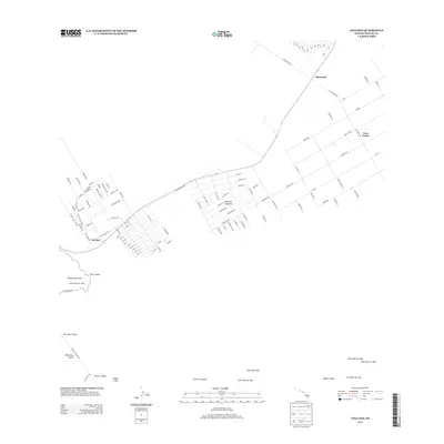
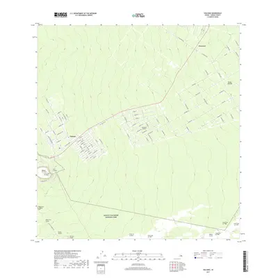
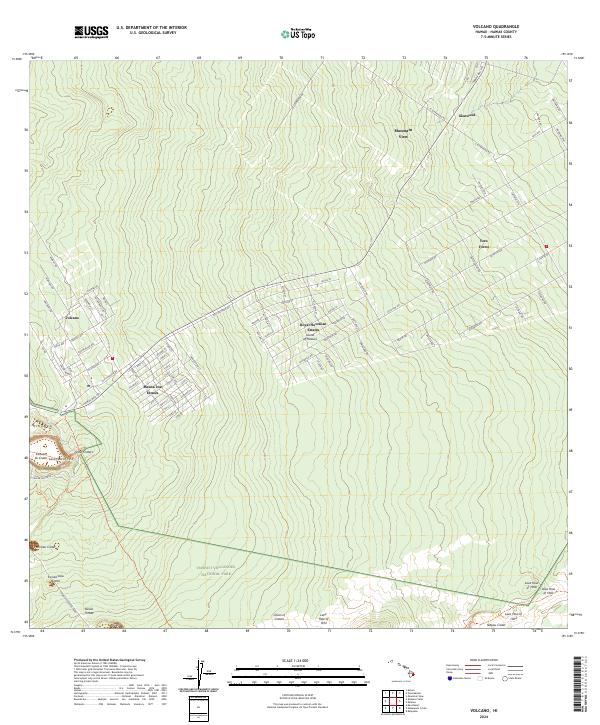
Hawaii Volcanoes National Park dominates the southern landscape of this survey, where the Earth's geothermal power is visible in a series of pit craters and recent volcanic activity. The map meticulously records numerous historical eruptions, including the Lava Flow of 1959 near Kilauea Iki Crater and more recent events such as the Lava Flow of 1974. Notable geological features like Devils Throat and the Thurston Lava Tube are marked alongside the winding Chain of Craters Road.
Find a feature on this map
43 named features on this map. Tap any name to fly to it.
Don’t see what you’re looking for? This feature index may not catch every label — zoom into the map to look around manually.
Map Details
Editions of this 1997 Volcano Map
This is the sole edition of this map. No revisions or reprints were ever made.
Historical Maps of Volcano Through Time
7 maps found