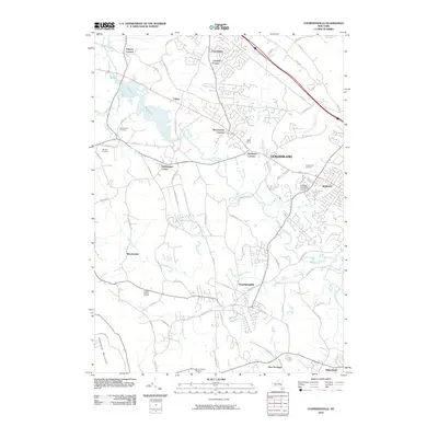
2010 Map of Voorheesville
USGS Topo · Published 2010About this map
Voorheesville and the town of Guilderland serve as the primary hubs in this landscape, where suburban residential patterns converge with historically agricultural and industrial lands. The Watervliet Reservoir dominates the northern reaches, fed by the winding Bozen Kill and Watervliet waters, while the Normans Kill snakes through the central region past Guilderland Center. This 2010 survey highlights the local cemetery network including Prospect Hill Cemetery and Mount Pleasant Cemetery, providing vital markers for those tracing family history in the Albany area. The presence of Indian Ladder Farms in the south and the Hiawatha Trails Golf Course near Westmere illustrates the area's mix of recreation and heritage farming. Transit corridors like the Helderberg Pkwy connect these hamlets, while the Helderberg Mountains rise in the southwest, anchoring the terrain's physical character.
Find a feature on this map
80 named features on this map. Tap any name to fly to it.
Don’t see what you’re looking for? This feature index may not catch every label — zoom into the map to look around manually.
Map Details
Editions of this 2010 Voorheesville Map
This is the sole edition of this map. No revisions or reprints were ever made.
Other maps of this area

1893 · Schenectady
USGS Topo · 1:62,500

1893 · Albany
USGS Topo · 1:62,500

1895 · Albany
USGS Topo · 1:62,500

1895 · Schenectady
USGS Topo · 1:62,500

1895 · Amsterdam
USGS Topo · 1:62,500

1898 · Schenectady
USGS Topo · 1:62,500

1898 · Albany
USGS Topo · 1:62,500

1900 · Berne
USGS Topo · 1:62,500

1903 · Berne
USGS Topo · 1:62,500

1927 · Albany
USGS Topo · 1:62,500