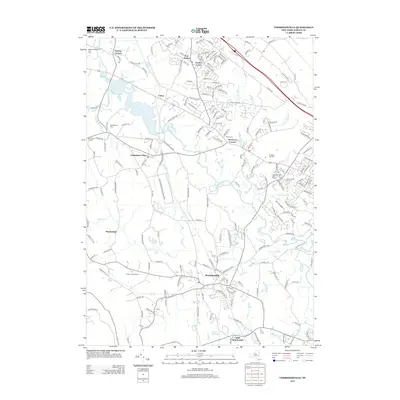
2013 Map of Voorheesville
USGS Topo · Published 2013About this map
The village of Voorheesville serves as the focal point of this 2013 survey of Albany County, where established agricultural roots meet modern residential expansion. The landscape is defined by its complex drainage systems, including the southward-flowing Normans Kill and its various tributaries like Black Cr and Vly Cr. These waterways historically dictated the placement of early settlements and roads, such as those found around Guilderland Center and the small hamlet of Fullers. Cultural and community landmarks are prominent, from the active agricultural operations at Indian Ladder Farms to the serene grounds of the Guilderland Cem and Prospect Hill Cem.
Find a feature on this map
187 named features on this map. Tap any name to fly to it.
Don’t see what you’re looking for? This feature index may not catch every label — zoom into the map to look around manually.
Map Details
Editions of this 2013 Voorheesville Map
This is the sole edition of this map. No revisions or reprints were ever made.
Other maps of this area

1893 · Schenectady
USGS Topo · 1:62,500

1893 · Albany
USGS Topo · 1:62,500

1895 · Albany
USGS Topo · 1:62,500

1895 · Schenectady
USGS Topo · 1:62,500

1895 · Amsterdam
USGS Topo · 1:62,500

1898 · Schenectady
USGS Topo · 1:62,500

1898 · Albany
USGS Topo · 1:62,500

1900 · Berne
USGS Topo · 1:62,500

1903 · Berne
USGS Topo · 1:62,500

1927 · Albany
USGS Topo · 1:62,500