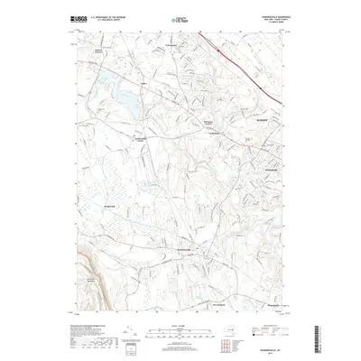
2019 Map of Voorheesville
USGS Topo · Published 2019About this map
The village of Voorheesville and the eastern edge of the Helderberg Mountains anchor this landscape, where suburban growth meets the drainage basins of the Normans Kill and Kaikout Kill. This 2019 survey captures the developed corridors along the Western Tpke and Helderberg Pkwy, illustrating the modern layout of towns like Guilderland and Westmere as they surround the state capital. Local history is preserved in sites such as Guilderland Cem, Prospect Hill Cem, and Fairview Cem, while the industrial legacy of the region is marked by the active CSX rail line and features like Horton Falls and the Delmar Reservoir. The map provides a contemporary view of established hamlets including Fullers, Hartmans Corners, and Meadowdale, detailing the complex network of state and county roads that define Albany County's western suburbs today.
Find a feature on this map
170 named features on this map. Tap any name to fly to it.
Don’t see what you’re looking for? This feature index may not catch every label — zoom into the map to look around manually.
Map Details
Editions of this 2019 Voorheesville Map
This is the sole edition of this map. No revisions or reprints were ever made.
Other maps of this area

1893 · Schenectady
USGS Topo · 1:62,500

1893 · Albany
USGS Topo · 1:62,500

1895 · Albany
USGS Topo · 1:62,500

1895 · Schenectady
USGS Topo · 1:62,500

1895 · Amsterdam
USGS Topo · 1:62,500

1898 · Schenectady
USGS Topo · 1:62,500

1898 · Albany
USGS Topo · 1:62,500

1900 · Berne
USGS Topo · 1:62,500

1903 · Berne
USGS Topo · 1:62,500

1927 · Albany
USGS Topo · 1:62,500