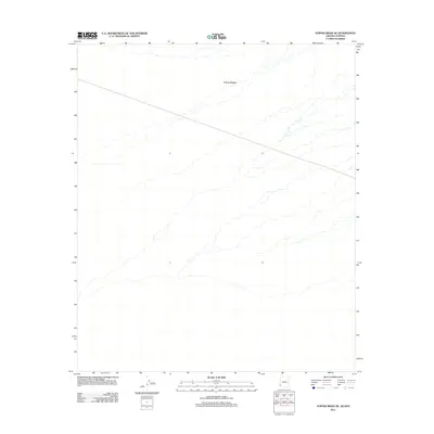
2011 Map of Vopoki Ridge SE
USGS Topo · Published 2011About this map
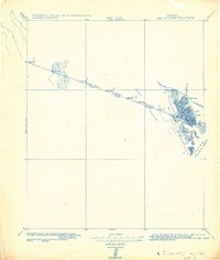
The Yuma Desert dominates this 2011 survey, revealing an arid landscape defined by expansive drainage patterns along the Arizona-Sonora border. This specific quadrangle covers a section of the Lower Colorado River Valley, where the desert floor is marked by a complex network of dry washes and alluvial fans that move sediment toward the southwest. Unlike more settled regions, the map highlights the stark environmental character of the borderlands, showing a vast, open terrain where natural hydrology remains the primary feature. The absence of built infrastructure within this portion of the Yuma Desert underscores the region's historical role as a challenging corridor for travel and a strictly preserved desert environment.
Find a feature on this map
1 named feature on this map. Tap any name to fly to it.
Don’t see what you’re looking for? This feature index may not catch every label — zoom into the map to look around manually.
Map Details
Editions of this 2011 Vopoki Ridge SE Map
This is the sole edition of this map. No revisions or reprints were ever made.
Other maps of this area

1942 · Yuma
USGS Topo · 1:250,000

1954 · El Centro
USGS Topo · 1:250,000

1955 · El Centro
USGS Topo · 1:250,000

1958 · El Centro
USGS Topo · 1:250,000

1961 · El Centro
USGS Topo · 1:250,000

1964 · El Centro
USGS Topo · 1:250,000
1965 · Vopoki Ridge
USGS Topo · 1:62,500
1965 · Tinajas Altas
USGS Topo · 1:62,500
1980 · Tinajas Altas Mts
USGS Topo · 1:100,000
1982 · Tinajas Altas
USGS Topo · 1:125,000