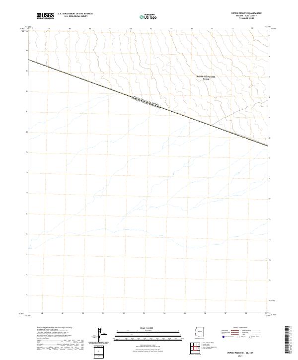
2021 Map of Vopoki Ridge SE
USGS Topo · Published 2021About this map
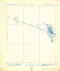
The United States of America Estados Unidos Mexicanos international border bisects this landscape in Yuma County, tracing a diagonal line that separates the southwestern United States from Mexico. This 2021 survey illustrates the stark geometry of the border against the arid terrain of the Sonoran desert, where natural drainage patterns and dry washes flow southward across the boundary line. The map primarily details the intricate topography of the region, emphasizing the drainage basins and elevation shifts that characterize this remote borderland. As a modern topographic study, it provides precise documentation of the international line as it exists today, serving as a critical reference for understanding the physical geography and administrative division of this transborder corridor.
Find a feature on this map
1 named feature on this map. Tap any name to fly to it.
Don’t see what you’re looking for? This feature index may not catch every label — zoom into the map to look around manually.
Map Details
Editions of this 2021 Vopoki Ridge SE Map
This is the sole edition of this map. No revisions or reprints were ever made.
Other maps of this area

1942 · Yuma
USGS Topo · 1:250,000

1954 · El Centro
USGS Topo · 1:250,000

1955 · El Centro
USGS Topo · 1:250,000

1958 · El Centro
USGS Topo · 1:250,000

1961 · El Centro
USGS Topo · 1:250,000

1964 · El Centro
USGS Topo · 1:250,000
1965 · Vopoki Ridge
USGS Topo · 1:62,500
1965 · Tinajas Altas
USGS Topo · 1:62,500
1980 · Tinajas Altas Mts
USGS Topo · 1:100,000
1982 · Tinajas Altas
USGS Topo · 1:125,000