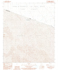
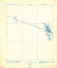
1990 Map of Vopoki Ridge SE
USGS Topo · Published 1991About this map
Aquiles Serdán sits just south of the international border in the Mexican state of Sonora, providing a rare cross-border perspective on this arid corridor. This provisional survey captures the transition between the Yuma Desert in the United States and the expansive sands of the Desierto de Altar to the south. North of the boundary line, the landscape is dominated by the Barry M Goldwater Air Force Range within Yuma Co, Arizona. The map illustrates the stark geography of the borderlands during the late twentieth century, showing the grid-like settlement of Aquiles Serdán set against the natural dunes and scrub. The inclusion of manuscript data from Mexican cartographic agencies alongside USGS field checks provides a synchronized view of the political and physical boundaries of this desert region.
Find a feature on this map
8 named features on this map. Tap any name to fly to it.
Don’t see what you’re looking for? This feature index may not catch every label — zoom into the map to look around manually.
Map Details
Editions of this 1990 Vopoki Ridge SE Map
This is the sole edition of this map. No revisions or reprints were ever made.
Other maps of this area

1942 · Yuma
USGS Topo · 1:250,000

1954 · El Centro
USGS Topo · 1:250,000

1955 · El Centro
USGS Topo · 1:250,000

1958 · El Centro
USGS Topo · 1:250,000

1961 · El Centro
USGS Topo · 1:250,000

1964 · El Centro
USGS Topo · 1:250,000
1965 · Vopoki Ridge
USGS Topo · 1:62,500
1965 · Tinajas Altas
USGS Topo · 1:62,500
1980 · Tinajas Altas Mts
USGS Topo · 1:100,000
1982 · Tinajas Altas
USGS Topo · 1:125,000