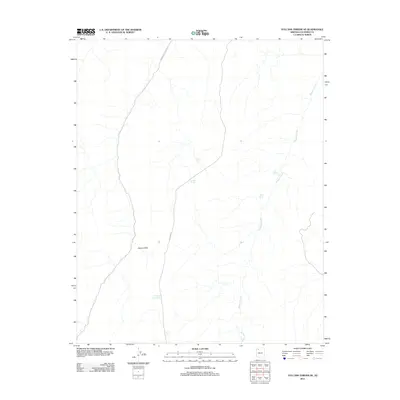
2011 Map of Vulcans Throne SE
USGS Topo · Published 2011About this map
The Aubrey Cliffs dominate the western landscape of this Coconino County terrain, standing as a prominent geological boundary in a region defined by arid washes and critical water catchments. Human infrastructure in this high-desert environment is largely limited to travel corridors and livestock or wildlife support, notably B I A Hwy 11 and Indian Service Road 10. The drainage patterns of Mohauk Creek weave through the eastern portion of the sheet, supported by essential water sources such as Red Spring and Moss Spring. The reliance on artificial water storage is evident through several named tanks, including Pinion Tank, Juniper Tank, and the Township Corner Tank located near the southern boundary. This map reveals a sparsely populated ranching or tribal land use pattern where every named spring and tank represents a vital landmark for navigation and survival.
Find a feature on this map
10 named features on this map. Tap any name to fly to it.
Don’t see what you’re looking for? This feature index may not catch every label — zoom into the map to look around manually.
Map Details
Editions of this 2011 Vulcans Throne SE Map
This is the sole edition of this map. No revisions or reprints were ever made.
Other maps of this area

1886 · Diamond Creek
USGS Topo · 1:250,000

1886 · Mt. Trumbull
USGS Topo · 1:250,000

1886 · Chino
USGS Topo · 1:250,000

1886 · Kaibab
USGS Topo · 1:250,000

1891 · Chino
USGS Topo · 1:250,000

1892 · Diamond Creek
USGS Topo · 1:250,000

1892 · Mt. Trumbull
USGS Topo · 1:250,000

1948 · Williams
USGS Topo · 1:250,000

1953 · Grand Canyon
USGS Topo · 1:250,000

1954 · Williams
USGS Topo · 1:250,000