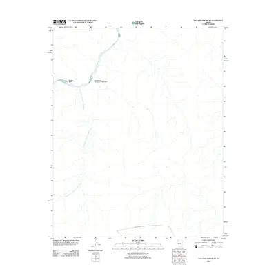
2011 Map of Vulcans Throne SW
USGS Topo · Published 2011About this map
The Colorado River carves through the northwestern corner of this territory, where the dramatic elevation changes of the canyonlands are captured in high detail. This particular stretch of the river is joined by Boulder Wash and serves as the northern terminus for the expansive Hundred and Ninetythree Mile Creek, which winds its way across the majority of the landscape. The drainage patterns across this desert terrain illustrate the complex hydrologic network feeding into the primary canyon systems.
Find a feature on this map
5 named features on this map. Tap any name to fly to it.
Don’t see what you’re looking for? This feature index may not catch every label — zoom into the map to look around manually.
Map Details
Editions of this 2011 Vulcans Throne SW Map
This is the sole edition of this map. No revisions or reprints were ever made.
Other maps of this area

1886 · Diamond Creek
USGS Topo · 1:250,000

1886 · Mt. Trumbull
USGS Topo · 1:250,000

1892 · Diamond Creek
USGS Topo · 1:250,000

1892 · Mt. Trumbull
USGS Topo · 1:250,000

1948 · Williams
USGS Topo · 1:250,000

1953 · Grand Canyon
USGS Topo · 1:250,000

1954 · Williams
USGS Topo · 1:250,000

1956 · Williams
USGS Topo · 1:250,000

1957 · Grand Canyon
USGS Topo · 1:250,000

1958 · Grand Canyon
USGS Topo · 1:250,000