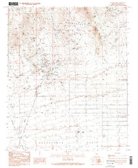
1990 Map of Vulture Mine
USGS Topo · Published 1990About this map
The Vulture City Townsite and its namesake Vulture Mine anchor this topographical study of the high desert northwest of Phoenix. The landscape is defined by the sharp transition from the Vulture Mountains and Caballeros Peaks down into the broad Hassayampa Plain. A dense concentration of mining activity is evident around the townsite, where numerous Mine Shaft and Mine Shafts are documented alongside the Red Cloud Mine and a local Cem.
Find a feature on this map
22 named features on this map. Tap any name to fly to it.
Don’t see what you’re looking for? This feature index may not catch every label — zoom into the map to look around manually.
Map Details
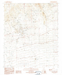
Editions of this 1990 Vulture Mine Map
2 editions found
Other maps of this area

1954 · Phoenix
USGS Topo · 1:250,000

1957 · Phoenix
USGS Topo · 1:250,000

1957 · White Tank Mts.
USGS Topo · 1:62,500

1958 · Phoenix
USGS Topo · 1:250,000

1960 · Phoenix
USGS Topo · 1:250,000

1961 · Vulture Mountains
USGS Topo · 1:62,500

1962 · Belmont Mts
USGS Topo · 1:62,500
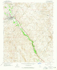
1964 · Wickenburg
USGS Topo · 1:24,000
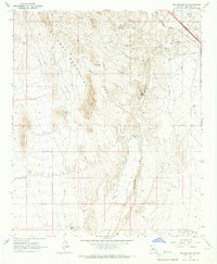
1965 · Wickenburg SW
USGS Topo · 1:24,000

1969 · Phoenix
USGS Topo · 1:250,000