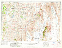
1962 Map of Vya
USGS Topo · Published 1962About this map
The high desert basins of the Black Rock Range and Jackson Mountains define this 1960s survey of the Nevada-Oregon-California borderlands. Ranching and mining interests dominate the landscape, with numerous family-named outposts like the Quinn River Crossing Ranch, Soldier Meadow, and Ninemile Ranch punctuating the vast valleys. The map documents a diverse mineral economy, from the mercury-producing Mcadoo Mine to the gold-rich Ashdown Mine and various uranium claims. Federal land management is prominent, showing the expansive Sheldon National Antelope Refuge and the Summit Lake Indian Reservation. Geothermal features such as Dyke Hot Spring and Double Hot Springs reveal the volcanic nature of the terrain, while the U S Naval Gunnery Range indicates the region's mid-century military utility.
Find a feature on this map
206 named features on this map. Tap any name to fly to it.
Don’t see what you’re looking for? This feature index may not catch every label — zoom into the map to look around manually.
Map Details
Editions of this 1962 Vya Map
This is the sole edition of this map. No revisions or reprints were ever made.
Other maps of this area
1882 · Paradise
USGS Topo · 1:250,000

1886 · Alturas
USGS Topo · 1:250,000
1886 · Honey Lake
USGS Topo · 1:250,000
1886 · Disaster
USGS Topo · 1:250,000
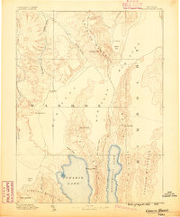
1886 · Granite Range
USGS Topo · 1:250,000
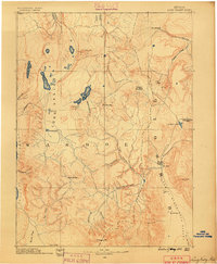
1889 · Long Valley
USGS Topo · 1:250,000
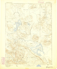
1891 · Honey Lake
USGS Topo · 1:250,000

1892 · Alturas
USGS Topo · 1:250,000
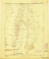
1893 · Paradise
USGS Topo · 1:250,000
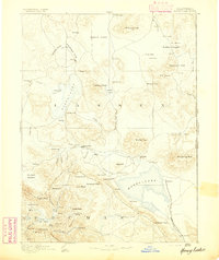
1893 · Honey Lake
USGS Topo · 1:250,000