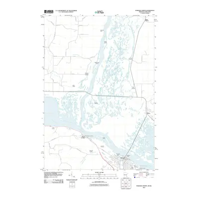
2010 Map of Wabasha North
USGS Topo · Published 2010About this map
Wabasha and Nelson sit on opposite banks of the Mississippi River in this 2010 study of the river valley's complex hydrology. The landscape is defined by the braided channels and sprawling wetlands of the Chippewa River delta, where Buffalo Slough, Smith Slough, and Swinger Slough carve a maze of islands including Battle Island and Wahcoutah Island. Along the Minnesota shore, the historic riverfront of Reads Landing remains a focal point, supported by the Reads Landing Post Office and nearby Riverview Cemetery.
Find a feature on this map
53 named features on this map. Tap any name to fly to it.
Don’t see what you’re looking for? This feature index may not catch every label — zoom into the map to look around manually.
Map Details
Editions of this 2010 Wabasha North Map
This is the sole edition of this map. No revisions or reprints were ever made.
Other maps of this area

1929 · Durand
USGS Topo · 1:62,500

1932 · Wabasha
USGS Topo · 1:62,500

1932 · Durand
USGS Topo · 1:62,500

1932 · Alma
USGS Topo · 1:62,500

1935 · Arkansaw
USGS Topo · 1:48,000

1941 · Arkansaw
USGS Topo · 1:62,500

1942 · Arkansaw
USGS Topo · 1:62,500

1950 · Alma
USGS Topo · 1:62,500

1951 · Wabasha
USGS Topo · 1:62,500

1953 · Saint Paul
USGS Topo · 1:250,000