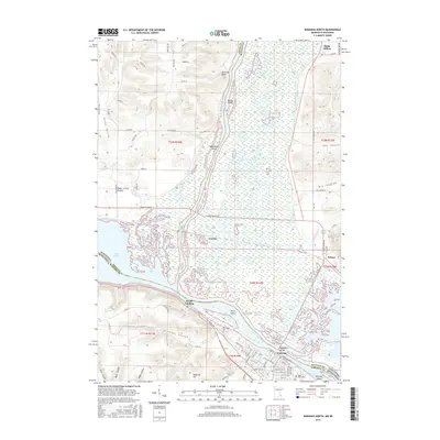
2016 Map of Wabasha North
USGS Topo · Published 2016About this map
Mississippi River and Chippewa River waters dominate this landscape where Minnesota and Wisconsin meet. The riverine environment is defined by an intricate network of channels and islands, including Wahcoutah Island and Drury Island, and expansive wetlands like Smith Slough and Battle Slough. The city of Wabasha occupies the western bank, anchored by the Wabasha Bridge and local landmarks such as Saint Felix Cem.
Find a feature on this map
100 named features on this map. Tap any name to fly to it.
Don’t see what you’re looking for? This feature index may not catch every label — zoom into the map to look around manually.
Map Details
Editions of this 2016 Wabasha North Map
This is the sole edition of this map. No revisions or reprints were ever made.
Other maps of this area

1929 · Durand
USGS Topo · 1:62,500

1932 · Wabasha
USGS Topo · 1:62,500

1932 · Durand
USGS Topo · 1:62,500

1932 · Alma
USGS Topo · 1:62,500

1935 · Arkansaw
USGS Topo · 1:48,000

1941 · Arkansaw
USGS Topo · 1:62,500

1942 · Arkansaw
USGS Topo · 1:62,500

1950 · Alma
USGS Topo · 1:62,500

1951 · Wabasha
USGS Topo · 1:62,500

1953 · Saint Paul
USGS Topo · 1:250,000