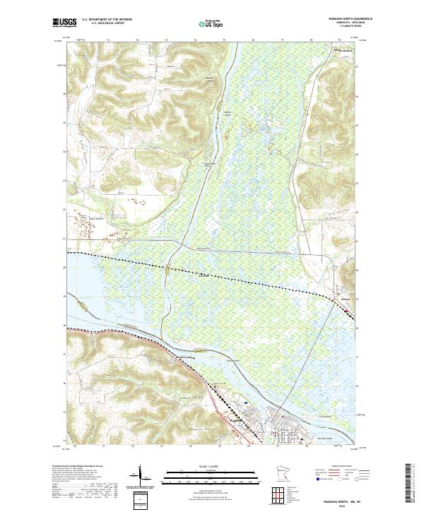
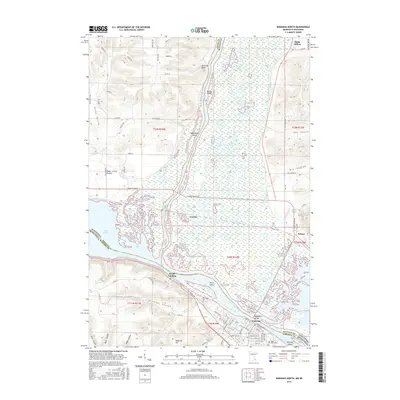
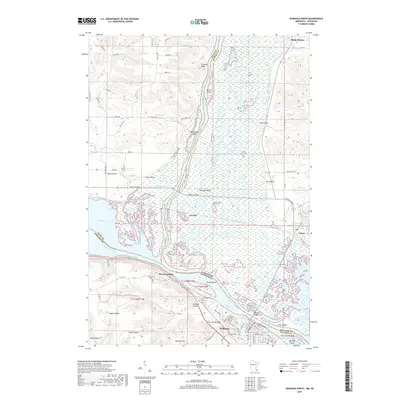
2022 Map of Wabasha North
USGS Topo · Published 2022About this map
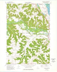
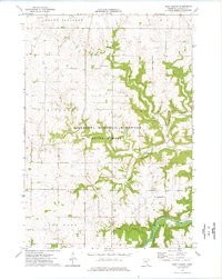
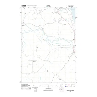
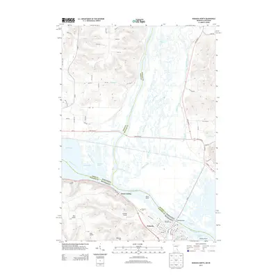
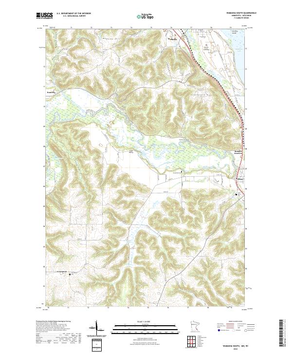
The Mississippi River forms a complex labyrinth of islands and side channels at its confluence with the Chippewa River, creating the defining landscape of this riverfront region. The town of Wabasha sits prominently along the south bank, across from the intricate wetlands of Wahcoutah Island and Crats Island. This area marks a significant geographical transition where the river widens near Lake Pepin, with the historic river town of Reads Landing positioned at the foot of Schmidt Coulee.
Find a feature on this map
99 named features on this map. Tap any name to fly to it.
Don’t see what you’re looking for? This feature index may not catch every label — zoom into the map to look around manually.
Map Details
Editions of this 2022 Wabasha North Map
This is the sole edition of this map. No revisions or reprints were ever made.
Historical Maps of Wabasha Through Time
30 maps found
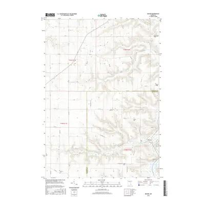
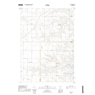
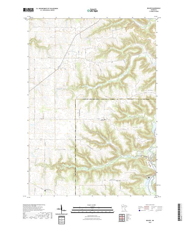
1972 Beaver
Wabasha County, MN
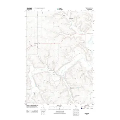
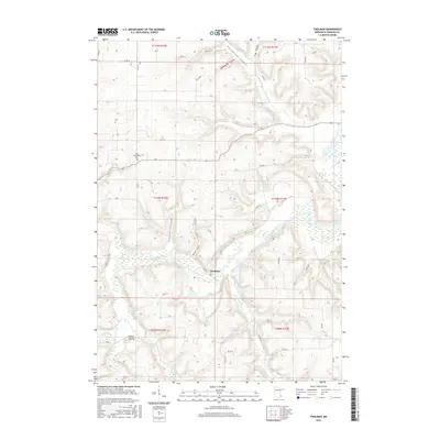
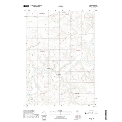
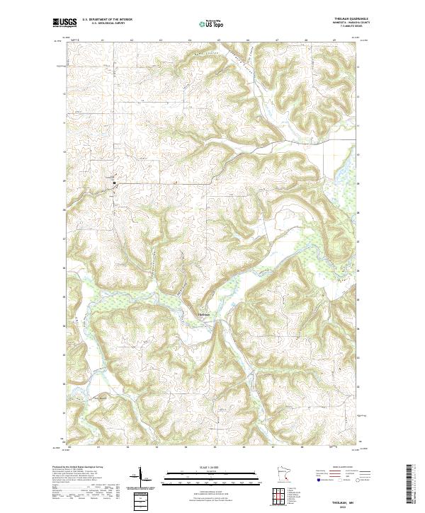
1974 Theilman
Wabasha County, MN
1974 Wabasha North
Wabasha County, MN
1974 Wabasha South
Wabasha County, MN
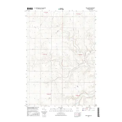
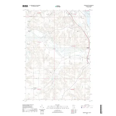
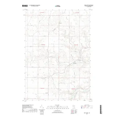
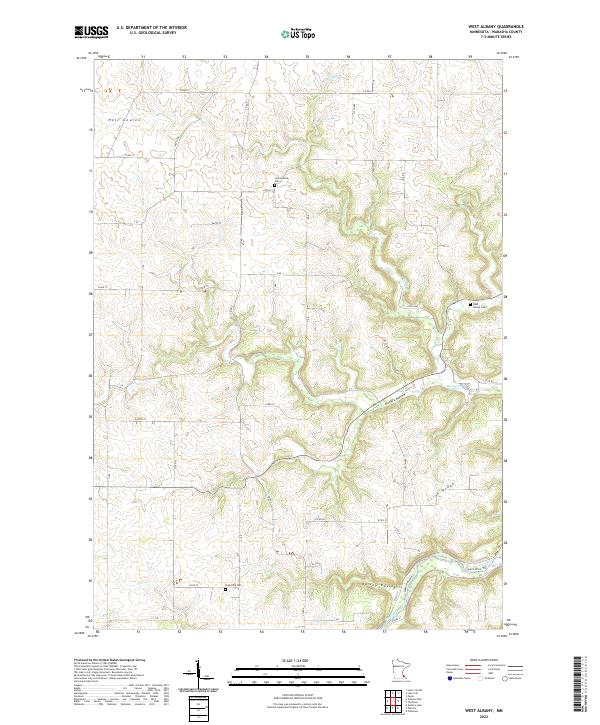
1974 West Albany
Wabasha County, MN
2010 Beaver
Wabasha County, MN
2010 Wabasha North
Wabasha County, MN
2010 Wabasha South
Wabasha County, MN
2010 West Albany
Wabasha County, MN
2011 Theilman
Wabasha County, MN
2013 Beaver
Wabasha County, MN
2013 Theilman
Wabasha County, MN
2013 Wabasha North
Wabasha County, MN
2013 Wabasha South
Wabasha County, MN
2013 West Albany
Wabasha County, MN
2016 Beaver
Wabasha County, MN
2016 Theilman
Wabasha County, MN
2016 Wabasha North
Wabasha County, MN
2016 Wabasha South
Wabasha County, MN
2016 West Albany
Wabasha County, MN
2019 Beaver
Wabasha County, MN
2019 Theilman
Wabasha County, MN
2019 Wabasha North
Wabasha County, MN
2019 Wabasha South
Wabasha County, MN
2019 West Albany
Wabasha County, MN
2022 Beaver
Wabasha County, MN
2022 Theilman
Wabasha County, MN
2022 Wabasha North
Wabasha County, MN
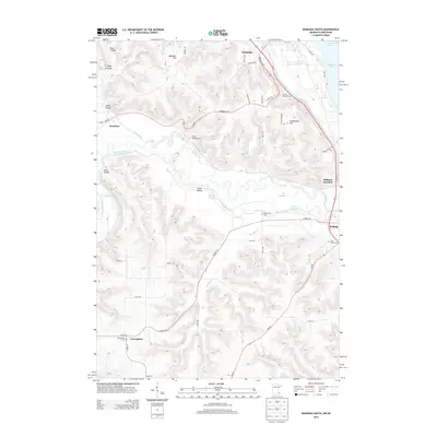
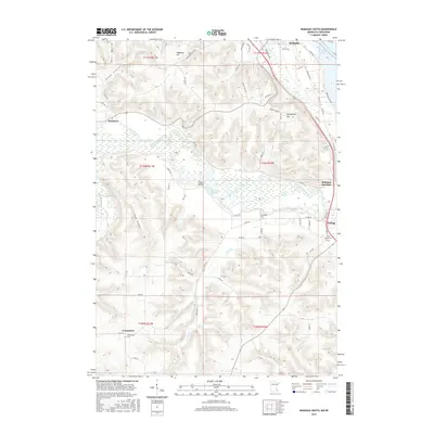
2022 Wabasha South
Wabasha County, MN
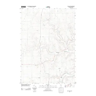
2022 West Albany
Wabasha County, MN