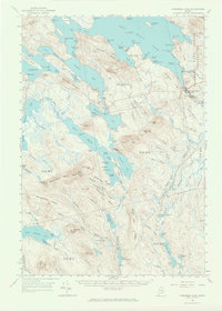
1963 Map of Wabassus Lake
USGS Topo · Published 1966About this map
Grand Lake Stream serves as a primary focal point in this remote corner of Washington Co, where the landscape is defined by an intricate network of waterways including Wabassus Lake and Sysladobsis Lake. The map illustrates a region dedicated to timber and recreation during the mid-1960s, evidenced by the State Forest Service Camp and a Lookout Tower atop Bald Mtn. Lakeside life is visible through small seasonal clusters like The Birches and The Pines, alongside established points like Elsemore Landing.
Find a feature on this map
141 named features on this map. Tap any name to fly to it.
Don’t see what you’re looking for? This feature index may not catch every label — zoom into the map to look around manually.
Map Details
Editions of this 1963 Wabassus Lake Map
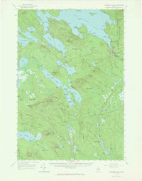
2 editions found
Other maps of this area

1929 · Lead Mountain
USGS Topo · 1:48,000

1931 · Springfield
USGS Topo · 1:48,000

1932 · Nicatous Lake
USGS Topo · 1:48,000

1932 · Lead Mountain
USGS Topo · 1:62,500

1934 · Nicatous Lake
USGS Topo · 1:62,500

1934 · Springfield
USGS Topo · 1:62,500

1940 · Waite
USGS Topo · 1:62,500

1941 · Scraggly Lake
USGS Topo · 1:62,500

1941 · Wesley
USGS Topo · 1:62,500

1941 · Tug Mountain
USGS Topo · 1:62,500