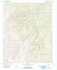
1967 Map of Wabayuma Peak
USGS Topo · Published 1970About this map
Wabayuma Peak anchors this mid-century survey of the Hualapai Mountains, a landscape defined by its deep canyons and early mining activity. In the late 1960s, the area remained largely undeveloped, characterized by a network of Pack Trails and Jeep Trails that provided access to remote mineral claims. The concentrated mining history of Mohave County is evident through the presence of the Boriana Mines, Copper World Mine, and Antler Mine, while the Cavaliere Ranch represents the region's sparse ranching footprint.
Find a feature on this map
23 named features on this map. Tap any name to fly to it.
Don’t see what you’re looking for? This feature index may not catch every label — zoom into the map to look around manually.
Map Details
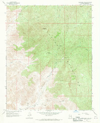
Editions of this 1967 Wabayuma Peak Map
2 editions found
Other maps of this area

1886 · Diamond Creek
USGS Topo · 1:250,000

1886 · Camp Mohave
USGS Topo · 1:250,000

1892 · Diamond Creek
USGS Topo · 1:250,000

1892 · Camp Mohave
USGS Topo · 1:250,000

1923 · Signal
USGS Topo · 1:250,000

1927 · Yucca
USGS Topo · 1:62,500

1929 · Yucca
USGS Topo · 1:62,500

1942 · Camp Mohave
USGS Topo · 1:250,000

1942 · Signal
USGS Topo · 1:250,000

1947 · Kingman
USGS Topo · 1:250,000