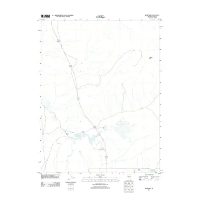
2011 Map of Wabuska
USGS Topo · Published 2011About this map
Wabuska sits at a crossroads of industrial history and geothermal geography in this corner of Lyon County. The landscape is defined by the industrial legacy of the Thompson Smelter and the distinctive wetlands of the Wabuska Hot Springs. These thermal features and the nearby Fort Churchill Cooling Ponds contrast sharply with the surrounding arid terrain, which rises toward the prominent heights of Cleaver Peak to the northeast.
Find a feature on this map
13 named features on this map. Tap any name to fly to it.
Don’t see what you’re looking for? This feature index may not catch every label — zoom into the map to look around manually.
Map Details
Editions of this 2011 Wabuska Map
This is the sole edition of this map. No revisions or reprints were ever made.
Other maps of this area

1891 · Wabuska
USGS Topo · 1:125,000

1894 · Wabuska
USGS Topo · 1:125,000

1957 · Como
USGS Topo · 1:62,500

1957 · Wabuska
USGS Topo · 1:62,500

1957 · Churchill Butte
USGS Topo · 1:62,500

1957 · Silver Springs
USGS Topo · 1:62,500

1957 · Reno
USGS Topo · 1:250,000

1959 · Reno
USGS Topo · 1:250,000

1960 · Reno
USGS Topo · 1:250,000

1979 · Carson City
USGS Topo · 1:100,000