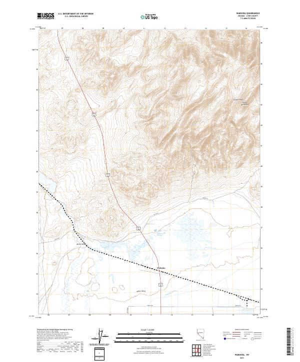
2021 Map of Wabuska
USGS Topo · Published 2021About this map
Wabuska sits at the northern end of the Mason Valley, where the landscape transitions from irrigated valley floors to the arid slopes of the Desert Mountains. This 2021 topographic survey illustrates the complex water management required in this high-desert environment, centered around the Wabuska Drain and the hydrothermal features at Wabuska Hot Springs. The settlement history here is defined by its position along transit corridors, with local routes like Sierra Way and Julian Ln connecting the agricultural valley to the surrounding uplands.
Find a feature on this map
14 named features on this map. Tap any name to fly to it.
Don’t see what you’re looking for? This feature index may not catch every label — zoom into the map to look around manually.
Map Details
Editions of this 2021 Wabuska Map
This is the sole edition of this map. No revisions or reprints were ever made.
Other maps of this area

1891 · Wabuska
USGS Topo · 1:125,000

1894 · Wabuska
USGS Topo · 1:125,000

1957 · Como
USGS Topo · 1:62,500

1957 · Wabuska
USGS Topo · 1:62,500

1957 · Churchill Butte
USGS Topo · 1:62,500

1957 · Silver Springs
USGS Topo · 1:62,500

1957 · Reno
USGS Topo · 1:250,000

1959 · Reno
USGS Topo · 1:250,000

1960 · Reno
USGS Topo · 1:250,000

1979 · Carson City
USGS Topo · 1:100,000