2021 Map of Wachita Mountain
USGS Topo · Published 2021About this map
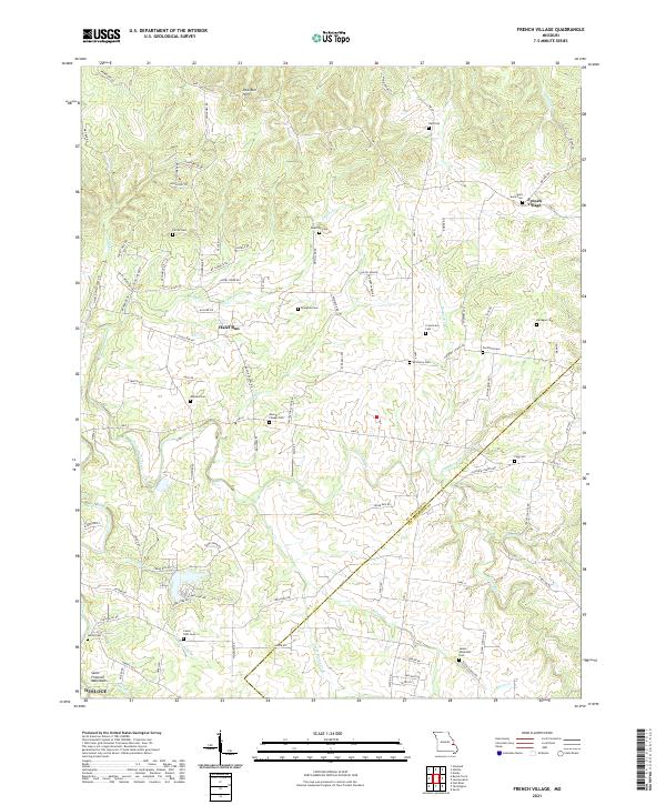
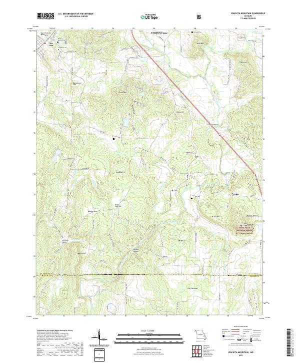
Saint Francois Mountains terrain dominates this Missouri landscape, where the northern reaches of the Mark Twain National Forest meet rural homesteads and family burial grounds. The settlement of Doe Run anchors the northwest corner, characterized by numerous cemeteries including Doe Run Memorial Cem and Pendleton Cem. This modern topographic study reveals a complex network of ridges and hollows, such as Beartooth Ridge and Wildcat Hollow, which steer the drainage of the Saint Francis River and Doe Run Cr.
Find a feature on this map
102 named features on this map. Tap any name to fly to it.
Don’t see what you’re looking for? This feature index may not catch every label — zoom into the map to look around manually.
Map Details
Editions of this 2021 Wachita Mountain Map
This is the sole edition of this map. No revisions or reprints were ever made.
Historical Maps of Doe Run Through Time
6 maps found