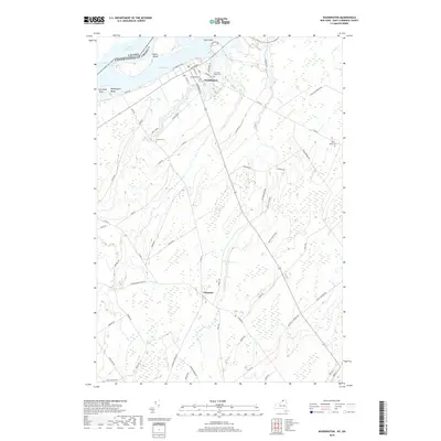
2019 Map of Waddington
USGS Topo · Published 2019About this map
The international border between Canada and the United States follows the deep waters of the Saint Lawrence Seaway, framing this northern New York landscape. Along the shore, the village of Waddington serves as a focal point, situated across the Little River from the large landmass of Ogden Island. The terrain is defined by its relationship to Lake St. Lawrence, with localized features like Waddington Beach and Clark Point marking the river's edge.
Find a feature on this map
66 named features on this map. Tap any name to fly to it.
Don’t see what you’re looking for? This feature index may not catch every label — zoom into the map to look around manually.
Map Details
Editions of this 2019 Waddington Map
This is the sole edition of this map. No revisions or reprints were ever made.
Other maps of this area

1904 · Lisbon
USGS Topo · 1:48,000

1904 · Ogdensburg
USGS Topo · 1:62,500

1905 · Waddington
USGS Topo · 1:62,500

1905 · Ogdensburg
USGS Topo · 1:62,500

1906 · Red Mills
USGS Topo · 1:62,500

1910 · Canton
USGS Topo · 1:62,500

1911 · Canton
USGS Topo · 1:62,500

1942 · Waddington
USGS Topo · 1:24,000

1942 · Chase Mills
USGS Topo · 1:24,000

1942 · Murphy Island
USGS Topo · 1:24,000