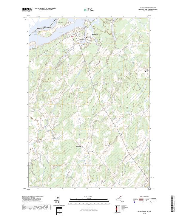
2023 Map of Waddington
USGS Topo · Published 2023About this map
The Saint Lawrence River defines the northern edge of this New York borderland, carrying the vital Saint Lawrence Seaway past the community of Waddington. Inland from the river's edge, the landscape is marked by a network of rural routes like Irish Settlement Rd and Hardscrabble Rd, reflecting a long history of local agriculture and transit. The settlement at Chipman and the northern reaches of Madrid anchor the southern portion of the sheet, while the riverfront is characterized by Ogden Island and the recreation areas at Waddington Beach.
Find a feature on this map
65 named features on this map. Tap any name to fly to it.
Don’t see what you’re looking for? This feature index may not catch every label — zoom into the map to look around manually.
Map Details
Editions of this 2023 Waddington Map
This is the sole edition of this map. No revisions or reprints were ever made.
Other maps of this area

1904 · Lisbon
USGS Topo · 1:48,000

1904 · Ogdensburg
USGS Topo · 1:62,500

1905 · Waddington
USGS Topo · 1:62,500

1905 · Ogdensburg
USGS Topo · 1:62,500

1906 · Red Mills
USGS Topo · 1:62,500

1910 · Canton
USGS Topo · 1:62,500

1911 · Canton
USGS Topo · 1:62,500

1942 · Waddington
USGS Topo · 1:24,000

1942 · Chase Mills
USGS Topo · 1:24,000

1942 · Murphy Island
USGS Topo · 1:24,000